Britain Seeks Alternative for Satellite Navigation
With so many advancements in satellite navigation systems, satellite navigation has become fundamental to the functioning of society in the last few decades. Satellite navigation has become more familiar, whether it’s food delivery apps or precise navigation, and timing (PNT) for navigation or to know the location of the weapon.
Recently, the UK Government has floated an interest to widen the search for a home-grown solution to the country’s need for independent satellite navigation and timing system.
Now, that Britain is no longer a member of the European Union and no longer involved with GALILEO, seeking for the sovereign system is therefore critical to the national interest.
Also, Read – NovAtel Introduces GPS Anti-jamming Technology for Marine Applications
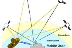
The other possible reason for an alternative to satellite navigation is the vulnerability of navigation systems (GNSS) to Jamming, Interference, and Spoofing. An unprotected GPS signal reception results in poor accuracy. In absence of a GPS anti-jamming technology a vehicle, rocket, vessel or ship may drift-off course without continuous positioning, navigation and timing. A safe operation needs secure continuous positioning, navigation, and timing.
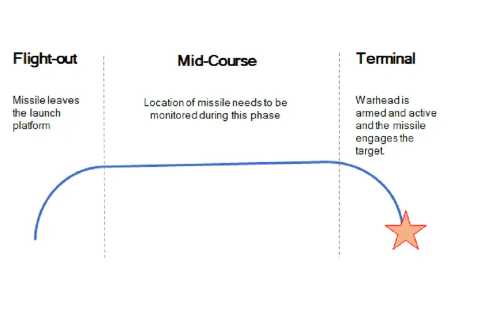
Defense Equipment and Support (DE&S) and the Defence and Security Accelerator (DASA) want to understand the range of technologies used for commercial positioning and navigation systems. The main area of interest is to know the location of the weapon during the mid-course phase of deployment, as shown in the figure below, with an accuracy of ± 5 meters. Technology to guide to final target is not in scope for this Market Exploration.
Also, Read – IIIT Hyderabad Develops New Low-cost Location Tool to Track Assets
There are other navigation and positioning technologies that can be considered to support GNSS navigation such as
- Terrain Contour Matching (TERCOM) – use of radar altimeter and a digital terrain elevation database
- Digital Scene Matching (DSMAC) – matches an onboard image to an imagery database
- Inertial Navigation Systems (INS) or Inertial Measurement Units (IMU) – rely on accurate measurements of velocity and time to calculate position.
Source & read more at – Alternative Navigation for Weapon Systems: Market Exploration Document