GIS
WhirlyGlobe 2.2 : 3D toolkit for iPad and iPhone
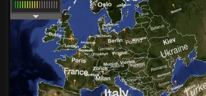
Mousebird Consulting has introduced WhirlyGlobe is a 3D globe rendering toolkit for iPad and iPhone based on OpenGL ES 2.0. It lets you put labels, markers, vectors, and shapes
Shift to LIDAR in Global GIS Market in Transportation Industry
Research and Markets, are the leading source for international market research and market data has announced the addition of the “Global GIS Market in Transportation Industry 2012-2016″ report. The
GPS Head-Up Display to Drive Safely & Comfortably
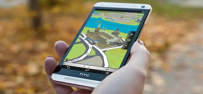
Sygic has been developing first-class navigation software since its establishment in 2004. In addition to the popular navigation application for iPhone and Android and location sharing family application Family,
Military Maps to Focus on Natural Disasters, Analysis
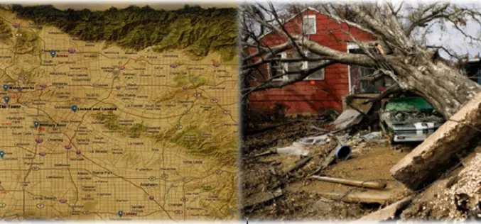
The Pentagon agency that maps the world wants to create a global geographic intelligence database that can anticipate future world trouble spots and humanitarian crises by combining detailed mapping
The Free Golf GPS App for Android By Birdie Apps
Birdie Apps provides a Free Golf GPS App that works on all modern phones and tablets. Birdie Apps recently released the newest version of its Golf GPS App and
Waze App with Celebrity Voice Navigation Feature
Waze, world’s largest community-based traffic and navigation app announced a new partnership with Universal Pictures to introduce a celebrity voice navigation feature. Waze, offers voice-guided GPS navigation gleaned from users
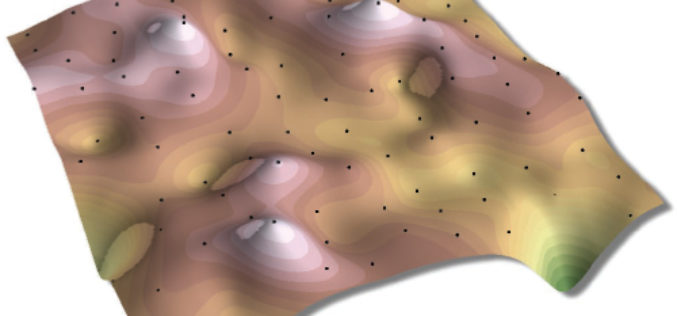
Choosing the Right Interpolation Method
The principle underlying spatial interpolation is the First Law of Geography. Formulated by Waldo Tobler, this law states that everything is related to everything else, but near things are more
MRPC Launches Web GIS System for Mustard Crop
Mustard Research and Promotion Consortium (MRPC) Launches Web GIS System for Mustard Crop MRPC is a non-govemental, non-profit R&D organization registered as a Society under the Societies Registration Act
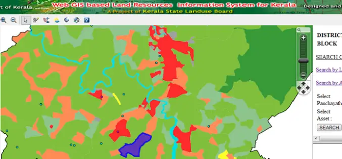
Kerala is the First State to Embark Land Resources Information System (LRIS) – India
India – Kerala is the First State to Embark Web Based Land Resources Information System (LRIS) The Land Resources Information System (LRIS) is an effort to streamline rural growth and
Classification of Interpolation
Classification of Interpolation Techniques Interpolation techniques can can be classified in following five main classes: 1. Point Interpolation/Area Interpolation 2. Global/Local Interpolations 3. Exact/Approximate Interpolations 4. Stochastic/Deterministic Interpolations 5. Gradual/Abrupt


