
GIS
Dengue Fever Control and Prevention via GIS Technologies
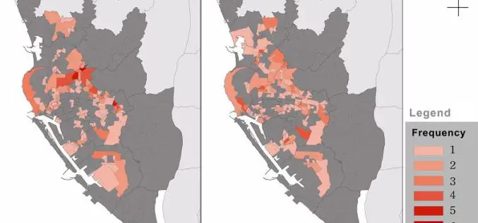
Controlling and preventing infectious diseases like dengue fever is one of the main issues for public health authorities in many countries. GIS technologies can play a key role to support

Free Climate Data for Germany of the Climate Data centre
The Deutscher Wetterdienst (DWD) makes available the whole collection of climate data it acquires, processes and archives. The CDC offers accesss to climate data for Germany, but also to data with

Israeli Initiative for Online Mapping of Air-raid Shelters
Israeli authorities has initiated a call for crowd source mapping of air-raid shelters on Google Maps, as well as in the form of softwares for use by other applications. Availability of

Icaros to Unveil Oblique Image Viewer and Measuring Tool for ArcGIS
FAIRFAX, Virginia, USA, – Icaros Inc. (Icaros), a leading provider of advanced aerial remote sensing and 3D visualization solutions, will introduce the Icaros Measurement Tool (IMT), a simple but powerful
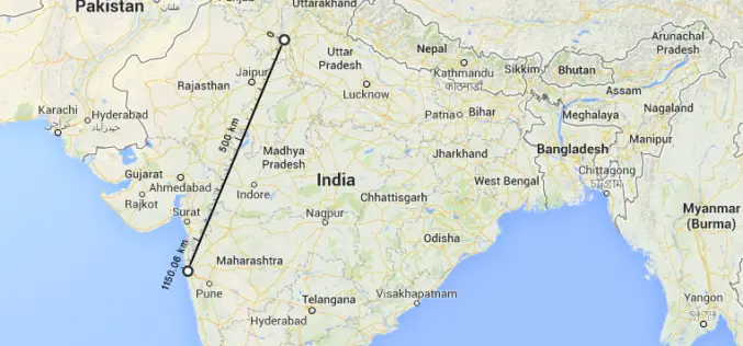
New Google Maps to Measure and Calculate Aerial Distances
The worlds most popular mapping platform, Google Maps now features measurement of aerial distances. To use the new tool, open Google Maps on your browser. Right click on the staring
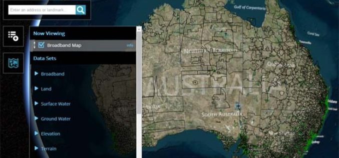
Australian Government Launches National Map Open Data Initiative
In recent news, Australian Government has launched a single platform for number of the data sets released by the government. With the launch of National Map Open Data Initiative, people

General Insurance Cooperation to Use GIS for Insurance Cover for Natural Calamities
In recent news,in a take away from last year Uttrakand flood, the General Insurance Cooperation of India (GIC Re), has approached Pune based Science and Technology Park (STP) at University

Avenza Releases MAPublisher 9.5 for Adobe Illustrator
Cartographic add-on now compatible with Adobe Illustrator Creative Cloud™ 2014 Toronto, ON, July 9, 2014 – Avenza Systems Inc., producers of the PDF Maps app for mobile and geospatial plug-ins

Blue Marble Exhibits in South Africa
Hallowell, Maine – July 8, 2014 – Representatives from Blue Marble Geographics (bluemarblegeo.com) have just returned from a very successful and exciting trip to Cape Town, South Africa. The trip to

Predict the Champion of 2014 FIFA World Cup with SuperGIS
Who will be the winner of World Cup 2014? Supergeo holds a vote for predicting the winner of 2014 FIFA World Cup to let worldwide football fans participate in the
