
GIS
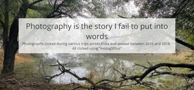
Photography Is the Story I Fail to Put Into Words – Destin Sparks
Authored By: I love nature, I like to give an intense look at creativity, innovation and amazing architectures. When I look at all these, I wish my family, friends

Geospatial Commission UK to Launch £1.5 Million Geospatial Competition
The Geospatial Commission has partnered with Innovate UK to launch a new government competition, where organisations can apply for a share of £1.5 million to fund projects which use data

India Approved Guidelines to Use of Drones Under a Legal Framework
New Delhi, India – Directorate General of Central Aviation has announced India’s policy on the use of drones. The government has permitted commercial flying of drones from December 1, 2018.
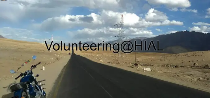
Story Map on Volunteering at Himalayan Institute of Alternatives, Leh
Contributed By:- Volunteering@HIAL (using Esri’s Story Map Cascade℠ app template) The story map provides detailed information on Volunteer service undertaken by Abhishek Sindal at Himalayan Institute of Alternatives, Leh
Cyient Selected to Develop GIS and MIS for the Varanasi City
Cyient has been selected as a consultant by Varanasi Nagar Nigam (VNN) to develop geographical information system (GIS) and Management Information System (MIS) for the city. A part of the

Kenyan Startup Apollo Agriculture Secures US$500,000 Funding
According to recent news, Kenyan startup Apollo Agriculture has secured US$500,000 in funding from Dutch Development Bank FMO and the Rabobank Foundation to fund harvesting cycles, further develop its credit model,

National Geospatial-Intelligence Agency Seeks Algorithm for Automatically Image Colorization
SPRINGFIELD, Virginia, July 11, 2018 — The National Geospatial-Intelligence Agency is seeking an algorithm that can rapidly, accurately and automatically colorize large panchromatic images of up to 10 gigapixels in

Geospatial Technology for Development of Smart Villages
Lucknow, Jul 15, 2018 (PTI) – Use of geo-spatial techniques like remote sensing can be of immense help in identifying villages lacking in basic infrastructure and ensuring their all round development

Russia, China Agreed to Hold Experiments to Increase Satellite Data Accuracy
Moscow, July 5. /TASS/. Russia’s State Space Corporation Roscosmos and the China National Space Administration (CNSA) have agreed to hold an experiment before October 1 to use testing grounds for

Construction of the FIFA World Cup Stadiums From Space
Deimos Imaging has released a story map with satellite imagery collected by them and their partners showing the construction and refurbishing of the World Cup stadiums.
