
GIS

UK Geospatial Commission is Working to Establish Scottish Geospatial Network Integrator
The recent news published on the UK Government website says that the UK Geospatial Commission is working with Scottish Enterprise and the Scottish Government to establish a Geospatial Network Integrator
Geospatial Sewerage Surveillance System to Detect Early Warning for Covid
Transerve has introduced a ‘Geospatial Sewerage Surveillance’ model which offers community-based group testing with routine monitoring of sewage as a non-invasive early warning tool.

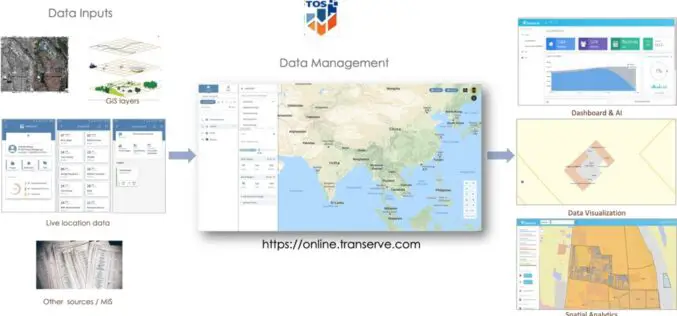
Big Data for Effective Decision Making – A Talk with Ashwani Rawat, Co-Founder & Director of Transerve Technologies
Transerve Technologies Pvt Ltd is a technology leader in the field of location-intelligence for effective decision making. Having been acknowledged as a top emerging and innovative company by NASSCOM and Deloitte,

India-US to Sign Basic Exchange and Cooperation Agreement for Geospatial Cooperation
In the third round of India-US two-plus dialogue both the countries agreed to sign the Basic Exchange and Cooperation Agreement for geospatial cooperation. The third round of ministerial dialogue is
Inclusion of Geospatial Subject in GATE and NET Exams
The All India Council of Technical Education (AICTE) has given approval on the inclusion of Geospatial subject GATE and NET examinations. The AICTE has taken the move on the recommendation
A Career in GIS
Increasingly, GIS careers have evolved to beyond just having people who only have technical roles, as highlighted by Adam Carnow, community evangelist at ESRI, in the Mapscaping Podcast.

National GIS-enabled Land Bank System to Boost Investments
The Government of India has launched a national GIS-enabled land bank which will facilitates the potential investors to locate and identify the land banks from the comfort of the office.

Mangaluru Smart City has gone Live, What does it mean for Residents?
Mangaluru Smart City already using the Integrated Command and Control Center as a war room for the administrators to combat COVID-19 pandemic.
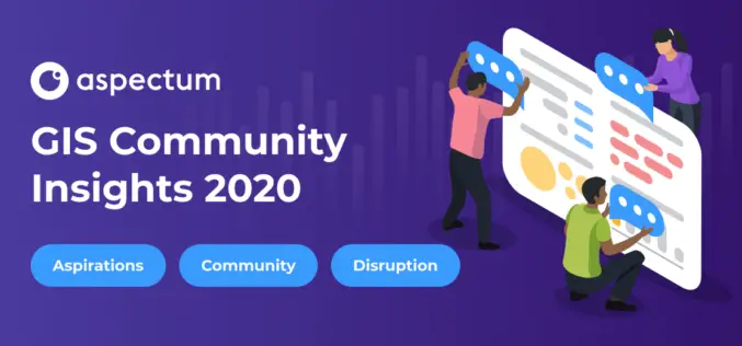
Mandatory Coding Skills are Named a Major Pain Point of GIS Specialists: Aspectum has Published GIS Community Survey
Aspectum, a cloud service for data analytics, has published the findings of its research on the overall situation in the GIS industry. The GIS Community Survey has become the
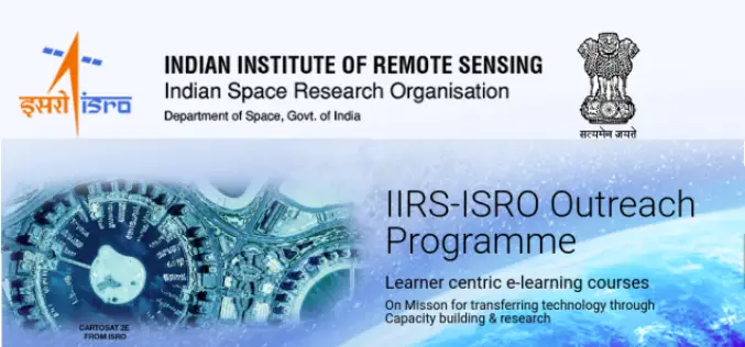
Register for IIRS Online Courses on Remote Sensing, GIS & GNSS Applications
About IIRS The Indian Institute of Remote Sensing (IIRS) foundation, is a constituent unit of Indian Space Research Organization (ISRO), Department of Space, Govt. of India. Since its foundation in
