
GIS
Geospatial Technology to Map Spread of COVID-19 and to Minimize Its Impact on Business
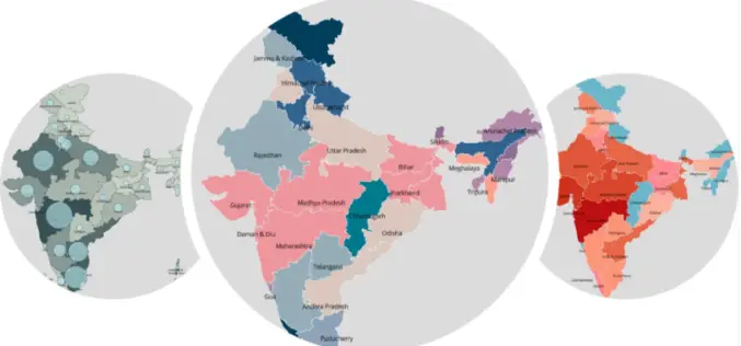
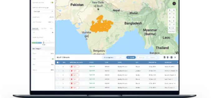
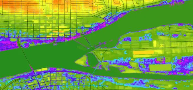
Aimed at helping Corporates and Government take statistically driven and swifter business decisions, Transerve Online Stack is providing relevant datasets generated by Interactive maps. 21st May 2020, New Delhi/Goa, India:
India Geospatial Stack to Enable Scientific Mapping of Resources
Contributed by – From the 14% at the time of independence to almost 32% according to the 2011 Census, urban settlements in India have witnessed a rapid population growth –
Hexagon Geospatial Releases M.App X 2020 Update 1 – Cloud-based Enterprise Solution for Imagery Intelligence
Hexagon Geospatial has recently released M.App X 2020 Update 1 with great new features. The major version of M.App X 2020 was released late in January 2020. M.App X is a
TatukGIS Announces Kernal 11 of its GIS Developer Kernel (DK) for ASP.NET Web Forms
TatukGIS is a leading geospatial technology company that makes an advanced level, general-purpose GIS mapping software development kits used by companies in a wide range of industries to develop custom
Highlight the Risk in Real Estate with Digital Elevation Model Data | cloudeo
Contributed by: Gokulakrishnan Balaji Student Marketing Munich +49 89 4141 786 23 gbalaji@cloudeo.group Location of new real estate comes with inherent uncertainties: what environmental hazards could affect this site? Before
Trimble Clarity: Free Point Cloud Viewer
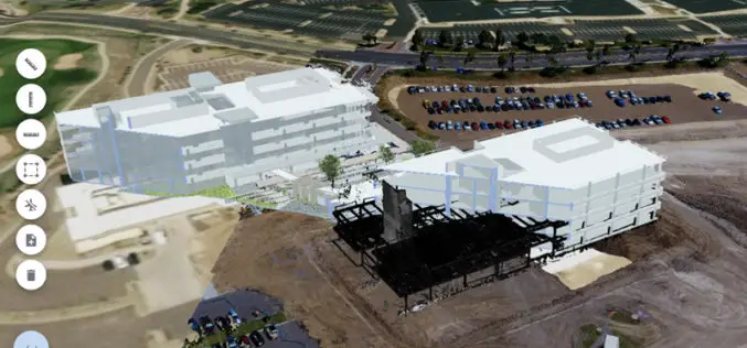
Trimble Clarity is a browser-based viewer for point cloud and 3D model data. It can be used to share projects and progress updates to team or clients, and allows them
GIS Resources Magazine (Issue 3 | September 2019): The Role of Geospatial Technologies in Drought Monitoring and Mitigation
GIS Resources Magazine (Issue 3 | September 2019) – The Role of Geospatial Technologies in Drought Monitoring & Mitigation GIS Resources is pleased to announce the release of its 3rd edition (September 2019) of the print and digital magazine. The
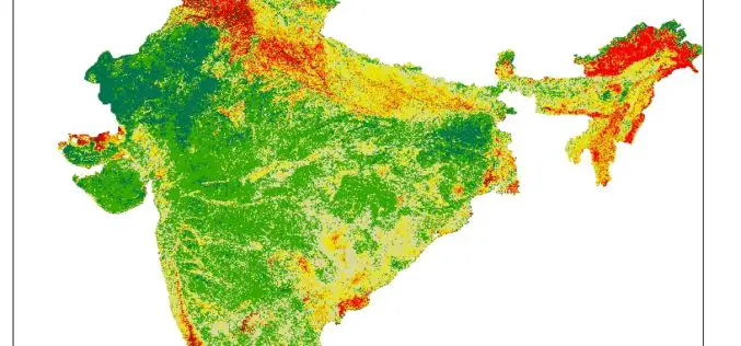
Pan India Drought : A Near Reality – An Analytical Story
Contributed By: This analytical story is about Drought, its frequency and intensity across India. This story emerged while working on Drought Vulnerability Management System. This story is due to effort put

Why Is Pigeon The Optimal Indoor Positioning System?
Top 5 Benefits of this Indoor Navigation Solution Large facilities such as corporate campuses, conventional centers, healthcare facilities, and amusement spaces such as zoo parks and resorts need a robust

One Stop Geospatial Search Engine
Contributed By: Note: Here, URLs mean link of documents, examples, scripts, downloadable geospatial data, geospatial services, tools, templates, web applications and mobile apps etc. which are in PUBLIC domain (i.e. available online). Geospatial
