

Business

Blue Marble to Highlight Use of Global Mapper for the Military
Blue Marble Geographics (bluemarblegeo.com) will be exhibiting at the 26th Annual SO/LIC Symposium & Exhibition held in Washington, D.C. at the Washington Marriott Wardman Park Hotel on January 26-28, 2015.

Esri Releases Demographic Data for 137 Countries
Global Income, Population and Business Data Now Easily Available for Better Local Market Knowledge Esri announces that geodemographic information for 57 additional countries has been added to its ready-to-use ArcGIS

OGC Adopts IndoorGML Standard for Encoding Indoor Navigation Data
The Open Geospatial Consortium (OGC) membership has approved the OGC IndoorGML Encoding Standard. This OGC standard specifies an open abstract data model and XML schema for indoor spatial information. The

W3C and OGC to Collaborate to Integrate Spatial Data on the Web
The W3C and the Open Geospatial Consortium (OGC) announced today a new collaboration to improve interoperability and integration of spatial data on the Web. Spatial data —describing geographic locations on
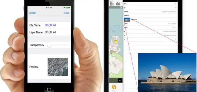
iOS Mapping Solution, SuperSurv, Enhances Raster Data Support
Supergeo releases the latest update of SuperSurv 3.2 (iOS) to enhance the functionality and efficiency for mobile GIS surveyors. Having stronger compatibility with raster dataset and convenient tools for data
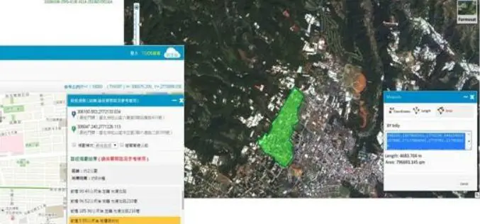
Brain of Smart City: A GIS Platform for Sharing 2D and 3D Maps
Smart City, defined as utilizing digital technologies to trim costs and resource consumption to engage its citizens more effectively in various domains like transport, health care, energy, water, and so

PCI Geomatics announces strategic partnership with MDA for Accessing RADARSAT-2 Imagery
PCI Geomatics, a world leading developer of remote sensing and photogrammetric software and systems, announced today a strategic partnership with McDonald, Dettwiler and Associated Ltd. (MDA). The partnership introduces a solution that

US Army Corps of Engineers Selects SimActive for Drones
SimActive Inc., a world-leading developer of photogrammetry software, has been selected by the United States Army Corps of Engineers (USACE). They join professionals across the globe using Correlator3D™ with UAV

W3C and OGC to Collaborate to Integrate Spatial Data on the Web
6 January 2015 — The W3C and the Open Geospatial Consortium (OGC) announced today a new collaboration to improve interoperability and integration of spatial data on the Web. Spatial data
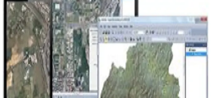
SuperGIS Cache Generator Now Supports STP Format
Supergeo announces that Cache Generator, the built-in tool in SuperGIS Desktop 3.2, now supports STP format, as a faster alternative to STC and XML files, for users to experience a
