

Business
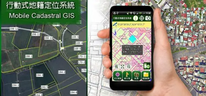
Smart Mobile Solution for Cadastral Mapping, Time to Go International!
It’s time to announce the next huge leap of SuperGIS Mobile Solution! The well-known Mobile Cadastral App powered by Supergeo, one of the best-selling land management and cadastral survey work

Vricon and Japan Space Imaging Partner on Bringing High-res 3D and Elevation Geodata Products to Japan
McLean, VA – 6 April 2016 —Vricon has announced it has selected Japan Space Imaging Corporation (JSI) for an exclusive reselling agreement. JSI is appointed as Vricon’s distributor in Japan
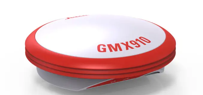
Leica Geosystems Smart Antenna Provides Superior Performance
Static, long term projects requiring a high number of sensors now have a new affordable smart antenna. This same device can also enable dynamic monitoring with up to 10 Hz data
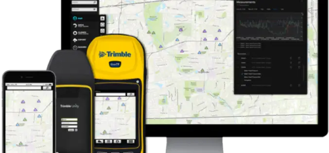
Trimble Launches New Version of its Smart Water Management Software to Streamline Utility Field Operations
Trimble Unity 3.0 Adds New Features to Ease Deployment and Connect Mobile Workers to Maps and Data SUNNYVALE, Calif., April 5, 2016—Trimble (NASDAQ: TRMB) announced today the latest version of

NCTech Unveils New 360 degree Imaging Developments for iSTAR Camera
Company announces new measurement capabilities and colorization integration for FARO laser scanners Edinburgh, UK and Houston, TX – April 5, 2016 – NCTech, the developer of reality imaging systems, today
Global Mapper SDK v17.1 Released with Updates and Performance Improvements throughout the Toolkit
Hallowell, Maine – March 31, 2016 – Blue Marble Geographics (bluemarblegeo.com) is pleased to announce the immediate availability of version 17.1 of the Global Mapper Software Development Kit (SDK) along
Blue Marble Names Global Mapper Best Commercial GIS Software Available for $499
Hallowell, Maine – Blue Marble Geographics (bluemarblegeo.com) is pleased to announce that they have named Global Mapper the best commercial GIS software available for $499. Blue Marble’s geospatial data manipulation,
OS Reveals Winning Ideas That Will Improve our Relationship with Water
Last December Ordnance Survey, with support from Southern Water, United Utilities, the Environment Agency and The Department for Environment, Food and Rural Affairs (Defra), launched its latest Geovation Challenge, asking developers
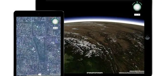
Meet HTML5 and the 3D Earth
HTML5 is the latest HyperText Markup Language of the World Wide Web Consortium (W3C), which was first published in 2008. However, it was released and has been used since 2011

Esri Showcases Smarter Decision Making through GIS at White House Water Summit
Esri is participating in the White House Water Summit, in celebration of the United Nations’ World Water Day. Esri has committed to building new technology that maps the extent and
