

Remote Sensing
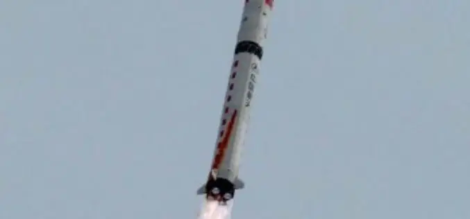
China Launches Gaofen 9 Remote Sensing Satellite
China has launched Gaofen 9 remote sensing satellite at 04:45 UTC on Monday using Long March-2D launch vehicle from the 603 Launch Pad of the LC43 Launch Complex to orbit. It is
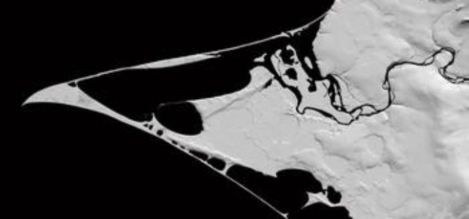
NSF and NGA Support Development of New Topographic Maps of the Arctic
The National Science Foundation (NSF), in partnership with the National Geospatial-Intelligence Agency (NGA), is supporting development of high-resolution topographic maps of the Arctic that for the first time will provide
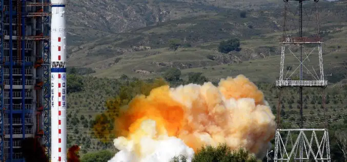
China Launches Yaogan-27 Earth Observation Satellite
According to CRIEnglish.com, China has successfully launched the Yaogan-27 remote sensing satellite into a scheduled orbit at 10:31 a.m. Beijing Time on Aug. 27,2015 from Taiyuan launch site in Shanxi Province, north
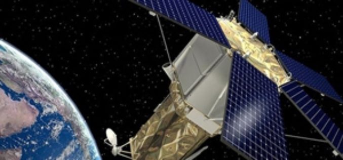
Belarus, Russia Sign Agreement to Develop Remote Sensing Satellite
The Russian corporation VNIIEM and the National Academy of Sciences of Belarus (NASB) signed an agreement on developing and operating a satellite for the high-resolution remote sensing of the Earth.
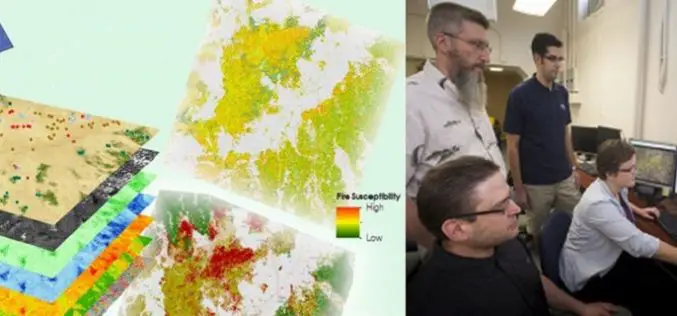
A Landsat based Tool to Map Wildfire Hazard and Susceptibility
Wildfires, coupled with the presence of invasive plant species, are primary drivers of change in semi-arid savanna ecosystems. These wildfires disrupt ecosystems, human localities, critical habitats of the endangered Greater
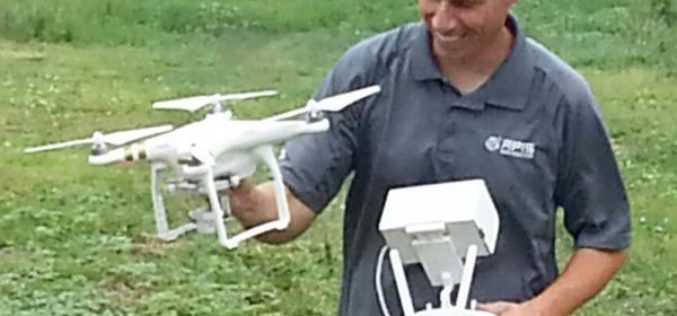
Drones to Access Crop Condition and Farming Possibilities
Drones in agriculture have transformed the way of capturing remotely sensed data and have proven their capability in many other domains. With the capability of acquiring high resolution data (spatial, spectral,
LAStools Toolbox now also for ERDAS IMAGINE 2015
The August release of LAStools from rapidlasso GmbH now also contains a toolbox for the latest 15.1 version of ERDAS IMAGINE® 2015 from Hexagon Geospatial. The two companies had announced their cooperation earlier this year after releasing

Eyes in the Sky to Protect World Heritage Angkor Wat
As reported in Xinhua, China signed a MoU with HIST (UNESCO) to use remote sensing technology to provide a new level of protection for the ruins of Cambodia’s Angkor Wat, the
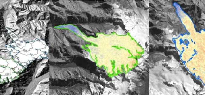
Modeling Glacier Elevation Change from Time Series DEM
Glaciers are always having an important impact on environment. Changing climate conditions have put a lot of pressure on our glaciers. Melting of glaciers could be very dangerous for life
China to Open Doors for Commercial Remote Sensing Satellite
BEIJING: A Chinese province, one of the communist nations oldest industrial bases, plans to launch its first indigenous remote sensing satellite for commercial use in October. Northeast China’s Jilin Province
