

Remote Sensing
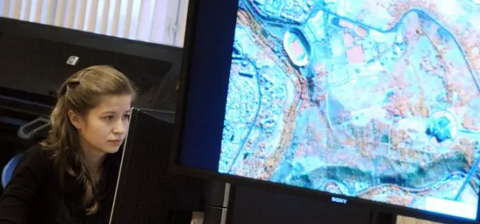
Russia Plans to Create Renewed Earth Remote Sensing System
According to recent news in TASS, Russia is planning to create a renewed system of Earth’s remote sensing. Russian Deputy Prime Minister Dmitry Rogozin said, “we plan to create a renewed system
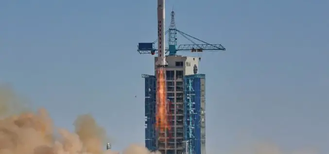
China Launches Tianhui-1 Remote Sensing Satellite
Beijing: China has successfully sent its third mapping satellite of the Tianhui-1 series into orbit on Oct. 26, 2015. Tianhui-1 will enhance the country’s ability to carry out scientific research, mapping and disaster
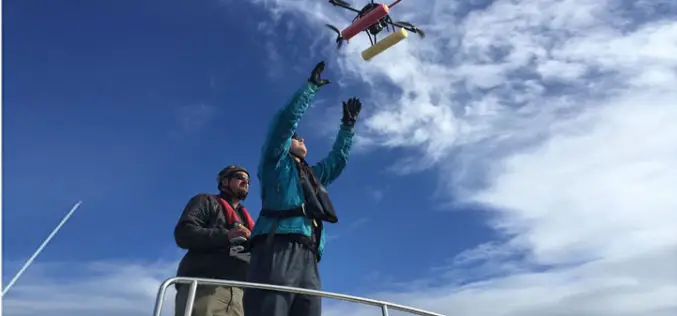
UAV to Study Killer Whales Health and Behavior
Unmanned aerial vehicle allows scientists to study killer whale health and reproduction while also offering a glimpse into the family life of these social animals John Durban is a marine
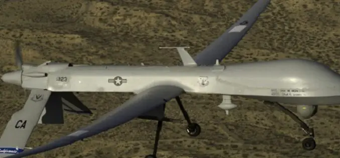
Drone Bombings in the Federally Administered Tribal Areas: Public Remote Sensing Applications for Security Monitoring
Drone bombing, as a US defense strategy in Pakistan, began under the George W. Bush administration as part of the “US War on Terrorism” and aimed to defeat Taliban and
Satellite Imaging Helps to Find Site of Human Sacrifice
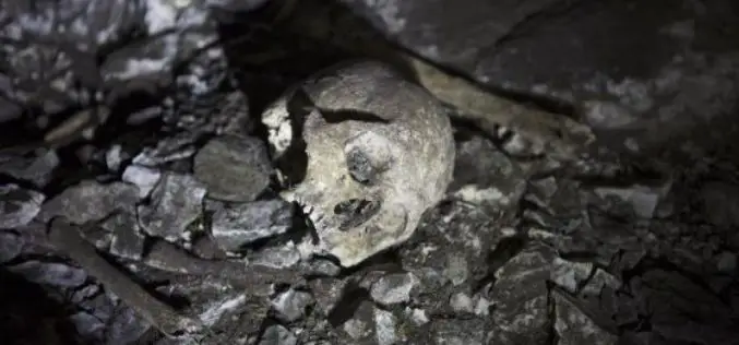
In recent news by EL PAIS, a team of Spanish scientist and researchers led by the writer and explorer Miguel Gutiérrez Garitano have just returned to Vitoria and shocked of
Belarus and Russia Partners to Define Specifications for a New Belarusian Remote Sensing Satellite
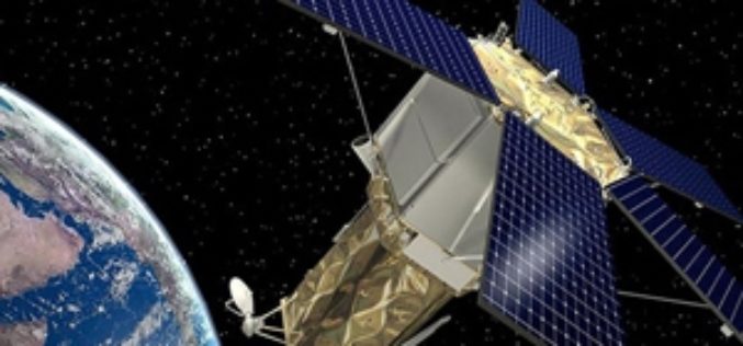
According to recent new by Sputnik, Belarus and Russia has joined their hands to announce technical specifications for a new Belarusian remote sensing satellite. President of the Belarusian Academy of Sciences Vladimir
China’s First High-Resolution Satellite Maps Large Part of World
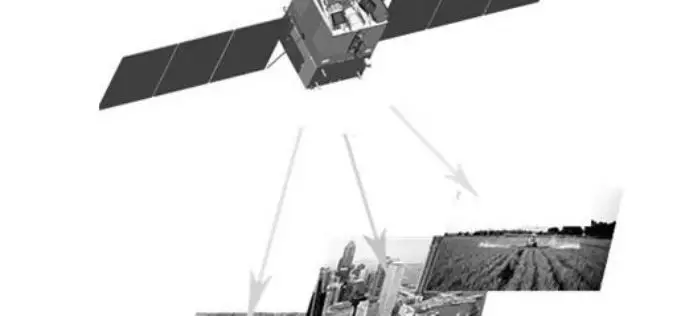
BEIJING: The Ziyuan III, China’s first high-resolution stereo mapping satellite for civilian use, has sent back visual data covering 69.45 million square kilometres of the globe since it was launched in

Underwater Drones to Map Oceans
MIT, Hydroswarm, a new startup developing underwater drones that automatically work together, instead has visions of mapping the entire ocean. Hydroswarm is an adaptable, smart drone platform for underwater explanation.
Taiwan to Launch FORMOSAT-5 Satellite in February 2016
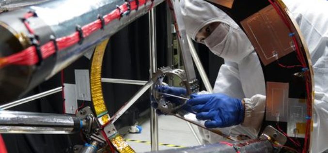
The FORMOSAT-5 satellite has passed space environment and function tests and is expected to be launched at the end of February 2016. The FORMOSAT-5 will replace FORMOSAT-2. The biggest difference
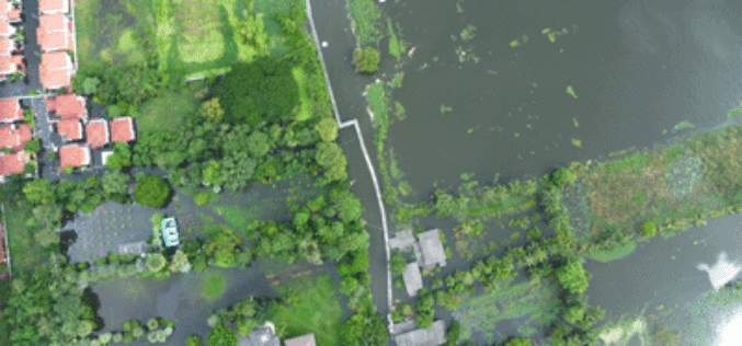
Malaysia to Use UAV to Monitor Floods
The Malaysian government will be using its newly built UAV to monitor floods during the monsoon seasons. The unmanned aircraft “Unmanned Aerial Vehicle-Remote Sensing (UV-RS)”, was collaboratively developed by ARSM, Multimedia
