

Remote Sensing
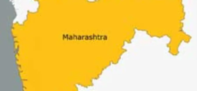
Remote Sensing Centre to Zero-In On Water Sources in Maharashtra
March 05, 2013 – The Maharashtra Remote Sensing Application Centre will launch a web-based GIS of public drinking water sources in the state. The project will also involve creating a
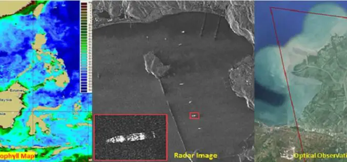
Free and Open Access to Sentinel-1 and Sentinel-3 Data Would Contribute To the Indonesian Blue Revolution
The Indonesian archipelago is one of the most important reservoirs of marine biodiversity on the planet, which makes a substantial contribution to the local fishing, aquaculture and tourism industries. Illegal
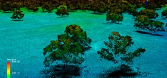
Full Waveform LiDAR Sample Data Now Available For Free
In a recent announcement by NEON, NEON Airborne Observation Platform (AOP) sample data is now available on the Airborne Data page. The NEON Airborne Observation Platform (AOP) is an aircraft

Airborne LiDAR to Find Clues of Inhabitants in Amazon River Basin
In recent news by Archaeology, European Research Council has funded an international project to search the Amazon River Basin for clues to the forest’s inhabitants for the past 3,000 years.
DigitalGlobe Announces Availability of 30 cm Satellite Imagery to All Customers
Higher Resolution Satellite Imagery Now a Highly Competitive Alternative to Aerial Imagery for Global Applications LONGMONT, Colo.–(BUSINESS WIRE)–Feb. 25, 2015– DigitalGlobe, Inc. (NYSE: DGI), a leading global provider of high-resolution earth
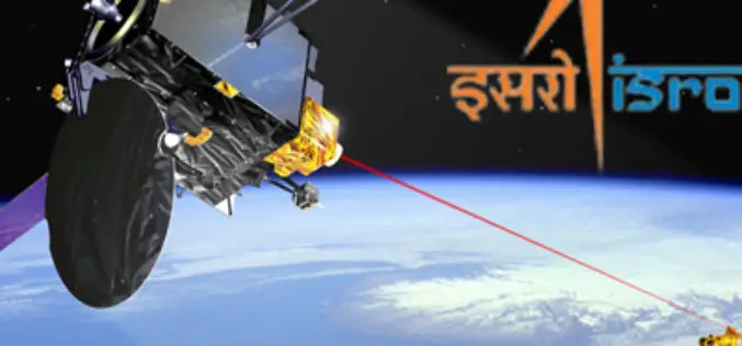
27 Indian Satellites Currently Operational: Govt
25 Feb. 2015 – As many as 27 satellites, including 11 which facilitate the communication network in the country, are currently operational and one more is to be launched next
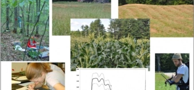
ESA’s Earth Explorer Mission to Study Vegetation Biomass
Following the initial selection in 2013 for Biomass to become ESA’s seventh Earth Explorer mission and the completion of preparatory activities, ESA Member States yesterday gave the green light for
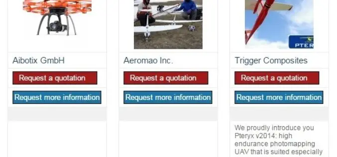
The 5most viewed UAVs for Mapping and 3D Modelling on Geo-matching.com
The Geo-matching.com website features a selection of the most important geomatics equipment, including UAS for Mapping and 3D Modelling. At www.geo-matching.com you can compare product specifications and read users’ reviews
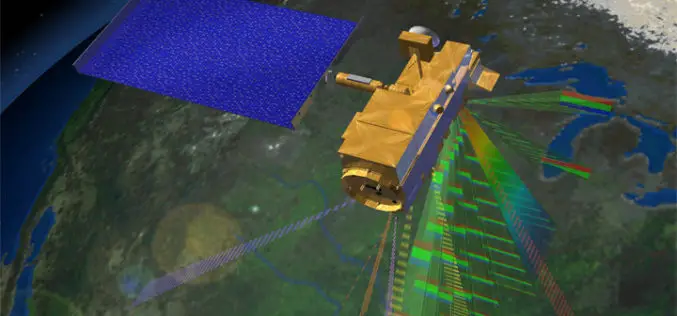
Remote Sensing Technology to Prevent Outbreak of Diseases
Feb. 16, 2015 – Satellites can help scientists follow parasites and viruses, and in some cases predict months ahead of time an outbreak of dengue fever or malaria, researchers said
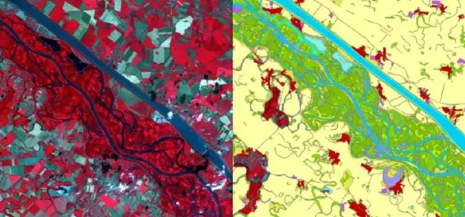
Copernicus: A Tool for Monitoring Europe’s Ecologically Sensitive River Banks
Riparian zones are fragile, yet environmentally important areas, and carry out a range of “ecosystem services”, such as filtering water, supporting wildlife and stabilising river banks. Within the Copernicus programme,
