

Remote Sensing
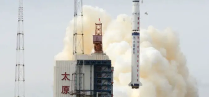
China Launches Yaogan-22 Remote Sensing Satellite
China launched the Yaogan-22 remote sensing satellite into scheduled orbit at 2:31 p.m. on Monday Beijing Time from Taiyuan Satellite Launch Center. The satellite will be used for scientific experiments,
Chinese Scientist Proposes Series of 6 Satellites to Monitor Earth
Beijing , October 15, 2014, A Chinese scientist has proposed six new satellites to monitor “global change” or planetary scale changes concerning the Earth as well as human activity. Guo Huadong, dean
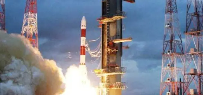
PSLV-C26 Successfully Lifted off India’s Third Navigation Satellite IRNSS-1C
Oct 16, 2014, ISRO’s Polar Satellite Launch Vehicle, PSLV-C26, successfully launched IRNSS-1C, the third satellite in the Indian Regional Navigation Satellite System (IRNSS), in the early morning hours of today
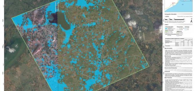
Copernicus Emergency Management Service release Flood Maps of Hudhud Affected Andhra Pradesh, India
Very Severe Cyclonic Storm Hudhud was the strongest tropical cyclone of 2014 within the North Indian Ocean, as well as the costliest storm in the basin since Cyclone Jal in 2010. Hudhud originated in
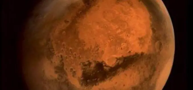
ISRO’s Mangalyaan Sends Picture of Mars’s Moon Phobos
Almost 20 days after it successfully entered the orbit of the Red Planet, ISRO’s Mars Orbiter on Tuesday sent pictures of Phobos – the largest of the two natural satellites
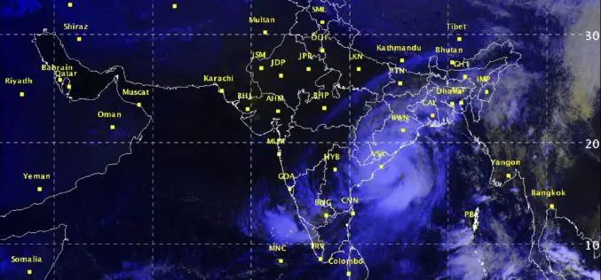
Severe Cyclonic Storm ‘HUDHUD’ over westcentral Bay of Bengal
According to Indian Meteorological Department, the Severe Cyclonic Storm ‘HUDHUD’ over westcentral Bay of Bengal moved northwestwards, intensified into a very severe cyclonic storm and lay centered at 1430 hrs IST

Venezuela to Launch Earth Observation Satellite”Sucre” in 36 Months
In recent news by Shanghai Daily, the manufacturing and launching of Venezuela’s third earth observation or remote sensing satellite will take some 36 months with the help of Chinese technology,
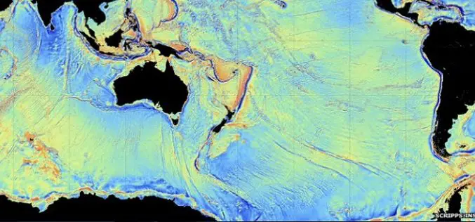
CryoSAT Unveils Secrets of the Deep
ESA’s ice mission has been used to create a new gravity map, exposing thousands of previously unchartered ‘seamounts’, ridges and deep ocean structures. This vivid new picture of the least-explored

Iran to Launch 4 Satellites
In recent new, Iran is planning to launch four new satellites with domestically-designed carriers into the space in the near future. The four satellites are named as Sharif Sat, Zafar (Triumph), Tolou
China to Build Comprehensive EO System in 10yrs
Beijing: China plans to build an earth observation system that integrates use of air, space and ground based technology, including drones, satellites and GPS systems in the next ten years, a top
