Remote Sensing
Skybox’s SkySat-1 Released First Images
Skybox Imaging has released first images of SkySat-1 satellite on December 11, 2013. Skybox released this statement We are excited to share the first images from SkySat-1, the first of
Dudley B. Chelton Awarded as 2013 Pecora Award
The US Department of the Interior’s U.S. Geological Survey (USGS) and NASA has presented the 2013 William T. Pecora Award for achievement in Earth remote sensing to Dudley B. Chelton,
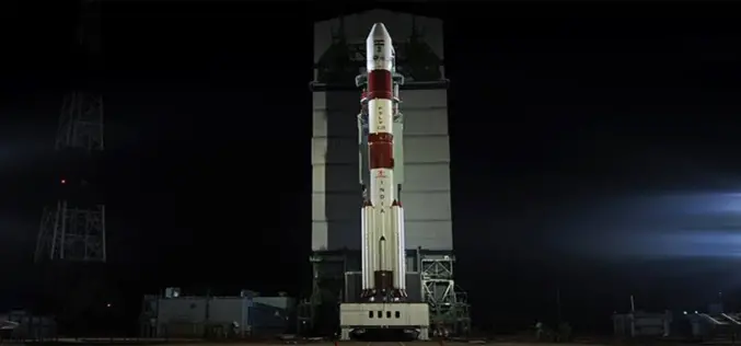
India’s First Mars Orbiter Mission Begun its Journey Successfully
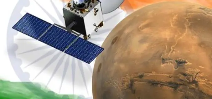
India’s First Mars Orbiter Mission Heads its Journey Successfully to Mars for an about 400 million km. India’s first Mars orbiter Tuesday successfully began an around 780 million km long
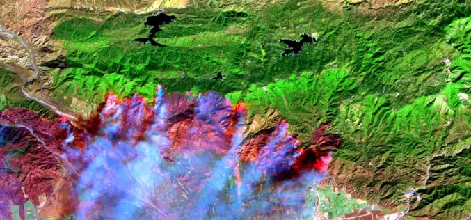
It’s Time to Give Firefighters a 21st century Tool: A Fire-Spotting Satellite
Scientists from UC Berkeley Develop Framework For Fire-Spotting Satellite UC Berkeley researchers have developed an initial framework for a satellite that could one day help locate emerging fires and
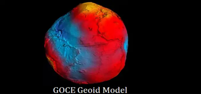
ESA’s GOCE Mission to Map Earth’s Gravity Draws to a Close
European Space Agency’s (ESA) GOCE Satellite Mission to Map Earth’s Gravity Draws to a Close After mapping variations in Earth’s gravity with unprecedented detail for four years, the GOCE satellite has run
China Launches Remote Sensing Satellite
China Launches Successfully Remote Sensing Satellite – Yaogan XVIII China, Oct 29: The Yaogan XVIII remote-sensing satellite was successfully launched on the back of a Long March 2C carrier rocket from the Taiyuan Satellite
The Mangalyaan Set to Blast-off on Nov, 05
India’s Mars Orbiter Mission (Mangalyaan) Set to Start its Journey to Mars on 05 Nov 2013 ISRO,Chennai: India’s ambitious Rs 450-crore space mission to Mars has now been fixed for blast-off
Reach More Accurate Heights with WorldDEM™ dataset
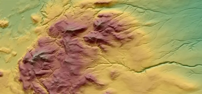
The WorldDEM™ from Astrium is Intended to be the Replacement Data Set for SRTM Here it comes the most accurate DEM after a long overdue treat. The WorldDEM™ data from Astrium is a
India’s Mars Mission Satellite Integrated With Rocket, Launch Date Revised
India’s Mars Mission Satellite Integration with Rocket, Launch Date Revised Chennai: The Indian Space Research Organization (ISRO) completed integration of its Mars mission satellite on Sunday with the rocket while
Weed Mapping in Maize Fields Using Unmanned Aerial Vehicle (UAV) Images
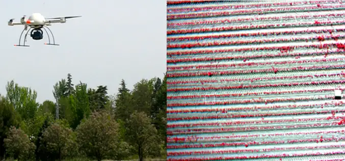
Weed Mapping in Early-Season Maize Fields Using Object-Based Analysis of Unmanned Aerial Vehicle (UAV) Images Today I was doing google about UAV and I came across a awesome work by José


