
Software
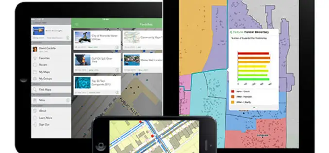
Explorer for ArcGIS Brings GIS to Everyone
Mobile App Simplifies Discovery, Visualization, and Sharing of Maps Redlands, California—Esri recently released the definitive GIS app for everyone to access and share maps on their smartphone and tablet. Called
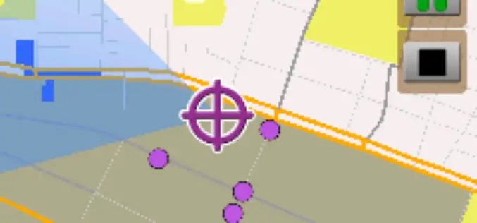
Android-Powered Mobile GIS, SuperSurv 3.1a, Supports Auto Positioning
Supergeo Technologies, a leading global provider of GIS software and solutions, announces that SuperSurv 3.1a for Android, the data collection app, now supports Auto Positioning to provide users with a

A GPS App to Fight Racism
The LICRA (International League against Racism and Anti-Semitism) has developed the first anti-racism mobile app for iPad and iPhone. The app is a unique and effective tool to reduce racism, anti-semitism

App to Forecast Storms Launched by Dubai Municipality
Dubai Municipality has launched a Android based app to forecast and monitor storms in 48 hours advance in Dubai. The app, Najam Sohail, is the name of app for early
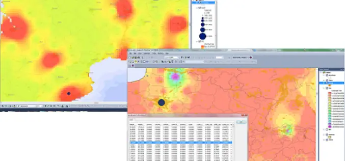
SuperGIS Biodiversity Analyst 3.2 Upgraded for Advanced Analyses
Supergeo Technologies, the leading global provider of complete GIS software and solutions, released the upgraded SuperGIS Biodiversity Analyst 3.2, enabling users to analyze and explore the richness, diversity and

BAE Systems Unveils Geospatial Intelligence Mobile App for Google Glass
BAE Systems today unveiled a new mobile app that can be used with Google Glass for hands-free geospatial intelligence data collection and photo reporting from anywhere in the field. Apr

PR: Trimble Delivers 3D Scanning Extension for SketchUp
New Tool Allows Easy Creation of Visual 3D Models from Real-World Scanning Data COLORADO SPRINGS, Colo., April 14, 2014—Trimble (NASDAQ:TRMB) announced today the release of Trimble® Scan Explorer Extension
Trimble Announces New Software Updates to Simplify Geospatial Analysis and Modeling
Advanced Productivity When Working with Images and Scan Data COLORADO SPRINGS, Colo., April 14, 2014—Trimble (NASDAQ:TRMB) announced today comprehensive updates to its powerful suite of geospatial office software, including Trimble®

SuperGIS 3D Earth Server 3.2 Officially Launched
Supergeo Technologies, the leading global provider of complete GIS software and solutions, officially released SuperGIS 3D Earth Server 3.2, to assist enterprises in managing, integrating, publishing and displaying geographic data

Blue Marble Releases GeoCalc 7.0 with EPSG “Area of Use” Polygon Data
Hallowell, Maine – April 2, 2014 Blue Marble Geographics (bluemarblegeo.com) is pleased to announce the release of the GeoCalc 7.0 software development kit (SDK). This release features new functionality to display
