
Software

Ordnance Survey launches OS Ride app with Chris Boardman MBE
With less than three months to go before The Grand Départ in Yorkshire, Ordnance Survey has teamed up with cycling legend Chris Boardman to launch a free cycling app to help
SuperGIS Engine 3.2 Globally Released for Efficient GIS Development
Supergeo Technologies, the leading global provider of complete GIS software and solutions, officially released SuperGIS Engine 3.2 to assists GIS developers in customizing GIS applications to meet diverse requirements of

Leica GeoMoS Adjustment v1.7: Adjusted Monitoring Network Data Available Everywhere and Quickly
Leica GeoMoS Adjustment, the network adjustment add-on for the successful Leica GeoMoS monitoring software, is intended for use in projects where the most precise and reliable information on structural movement

PR: Synthicity Releases 3D Spatial Data Visualization Tool, GeoCanvas
New Software Streamlines GIS Berkeley, California – Synthicity has released (on March 26, 2014) a free public beta version of GeoCanvas, its 3D spatial data visualization tool. The software provides

GRASS GIS 7.0.0 beta 1 is Released
What’s new in GRASS GIS 7.0.0 beta in a nutshell: The graphical user interface based on wxPython (introduced in GRASS GIS 6.4) has been enriched with many new features in
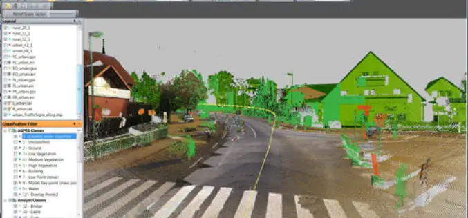
PR: Trimble Launches New Version of its eCognition Software for Advanced Geospatial Data Analysis
LOUISVILLE, Ky., March 28, 2014—Trimble (NASDAQ: TRMB) announced today the latest version of its eCognition® software for geospatial data analysis at the American Society for Photogrammetry and Remote Sensing (ASPRS)
PR: Topcon MAGNET Field GIS Software Offers Cloud-Based Data Sharing Capability
LIVERMORE, Calif., USA/ CAPELLE A/D IJSSEL, The Netherlands – Tuesday, March 25, 2014, Topcon Positioning Group announces the release of the MAGNET® Field GIS software kit designed for efficient data collection,

Supergeo Partners with GPS P.L to Offer iOS-powered Mobile GIS Turnkey Solution
GPS.PL has nearly 2 decades experience in the field of GNSS and INS, covering diverse areas like sea, air, farming, forestry, ecology, and defense, field survey, etc. The provision of
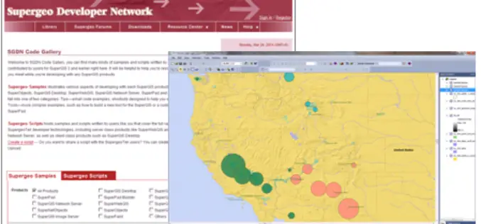
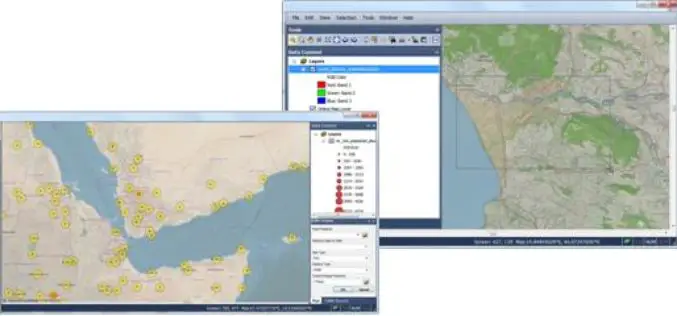
Supergeo Launches Rich Customization Samples of SuperGIS Desktop 3.2
Supergeo Technologies, a leading global provider of GIS software and solutions, released plentiful customization samples and technical resources of SuperGIS Desktop 3.2. GIS developers and programmers are empowered to build

Spatial Business Systems Announces SpatialBiz Plug-in for FME 2014
Latest release provides rich new functions and improved performance for GE Smallworld users Lakewood, CO – Spatial Business Systems (SBS) announces immediate availability of the 2014 SpatialBiz Plug-in. The SpatialBiz Plug-in
