
Webinars

Esri Webinar: Drone2Map for Engineering and Construction
Drone2Map for Engineering and Construction Tue, Apr 26, 2016 11:30 PM – Wed, Apr 27, 2016 12:30 AM IST Unmanned aerial systems enable engineers to better understand the terrain they
Esri Webinar: Eyes on the World
Eyes on the World Wed, Apr 20, 2016 | 1:30 AM – 2:30 AM IST Wed, Apr 20, 2016 | 6:30 AM – 7:30 AM IST Drones, UASs, and UAVs

Esri India Webinar: Leveraging ArcGIS Platform & CityEngine for GIS based Master Plans
Esri India Webinar: Leveraging ArcGIS Platform & CityEngine for GIS-based Master Plans Tuesday, March 29, 2016, 1:30 pm Singapore Time (Singapore, GMT+08:00) Sustainable, scalable and future-ready urban development is one the

Geomatica 2016 Release Highlights
Geomatica 2016 Release Highlights March 15, 2016 | 4:00 AM EST – 9:00 AM (GMT) | 2:00 PM EST – 7:00 PM (GMT) PCI Geomatics is the developer of Geomatica- a complete

Webinar: Location Intelligence and GIS in a Modern BI World
An expert’s take on how the shift to modern BI and Analytics platforms will impact the future of Location Analytics Thursday March 17, 9-9:30am PST / 12-12:30pm EST Hosted discussion by CMaps Analytics
Webinar: Big Data Spatial Analytics and Geo-Dashboards
Big Data Spatial Analytics and Geo-Dashboards MARCH 3, 9am PST / 12pm EST Learn how to transform millions of assets into meaningful insights using Location Analytics. With millions or billions
Combining SAR and Optical Imagery for Mapping and Change Detection
PCI Geomatica Webinar: Combining SAR and Optical Imagery for Mapping and Change Detection February 25, 2016 | 4:00 AM EST – 9:00 AM (GMT) | 2:00 PM EST – 7:00 PM (GMT) PCI

Advanced Webinar on Using NASA Remote Sensing for Flood Monitoring and Management
Advanced Webinar on Using NASA Remote Sensing for Flood Monitoring and Management When: 03/16/2016 to 04/06/2016 Times: 8:00 a.m. – 9:00 a.m. EDT (UTC-4) and 4:00 – 5:00 p.m. EDT (UTC-4)
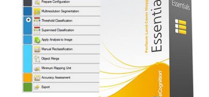
How to automatically update your Vector GIS Data using Trimble eCognition
Webinar: How to automatically update your Vector GIS Data using Trimble eCognition Tue, Feb 16, 2016 9:30 PM – 10:30 PM IST Show in My Time Zone Our GIS databases

Tap Into-High Accuracy GPS Data Collection
TerraGo and CHC Webinar: Tap Into High-Accuracy GPS Data Collection Date: January 26 at 11 AM CHC and TerraGo are revolutionizing the GPS data collection market by integrating CHC’s line of
