China Launches Yaogan-22 Remote Sensing Satellite

China Launches Yaogan-22 Remote Sensing Satellite

Yaogan-22
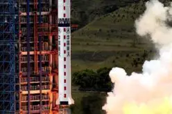
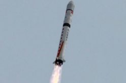
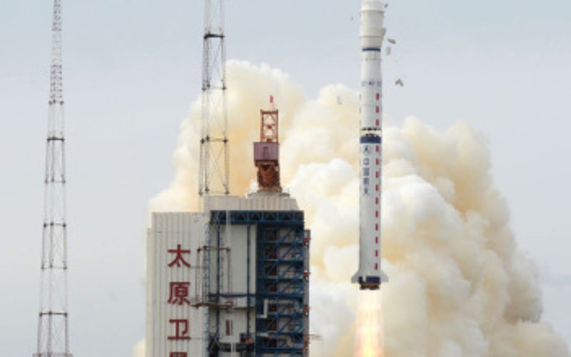
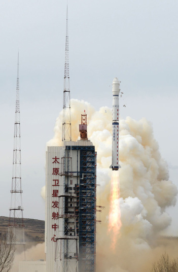
China launched the Yaogan-22 remote sensing satellite into scheduled orbit at 2:31 p.m. on Monday Beijing Time from Taiyuan Satellite Launch Center.

The satellite will be used for scientific experiments, natural resource surveying, estimating crop yields and disaster relief.

Source: Xinhua

Categories: Remote Sensing
Tags: Yaogan-22

About Author

GIS Resources

GIS Resources is an initiative of Spatial Media and Services Enterprises with the purpose that everyone can enrich their knowledge and develop competitiveness. GIS Resources is a global platform, for latest and high-quality information source for the geospatial industry, brings you the latest insights into the developments in geospatial science and technology.

Write a Comment

Your e-mail address will not be published.
Required fields are marked*

This site uses Akismet to reduce spam. Learn how your comment data is processed.