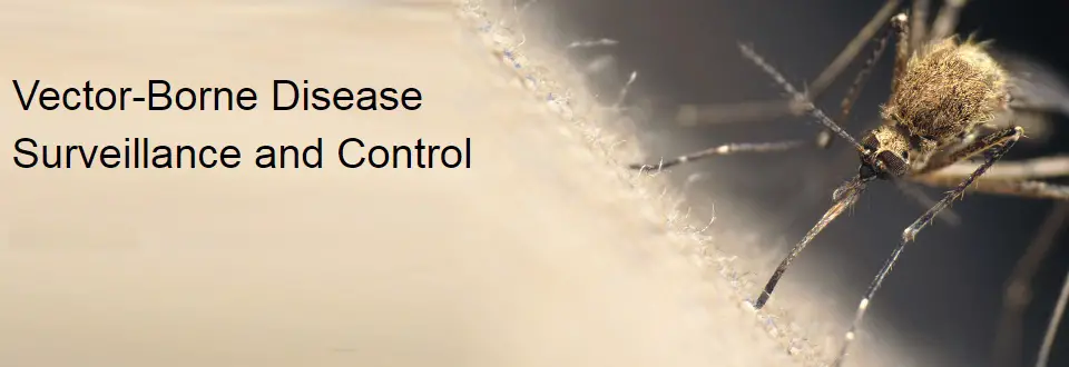
Esri Webinar: Effective Vector-Borne Disease Surveillance and Control
Thu, May 26, 2016 11:30 PM – Fri, May 27, 2016 12:30 AM IST
Show in My Time Zone
Understanding the complete workflow to combat vector borne diseases such as Zika, West Nile, and Dengue leads to a more comprehensive solution. Geographic information systems (GIS) technology plays vital part in attacking the issue head on from monitoring and eradicating mosquitos at the source to ramping up a response when disease presents itself. This webinar will introduce the power of location in collecting and analyzing data, improving operations and response, and communicating with the public. We will draw from years of real world experience in health, environmental health, public works, and vector control to demonstrate a practical approach to tackling this important community health issue.
Credit: Esri
You are invited to attend this free webinar on Esri solutions for Vector-Borne Disease Surveillance and Control. We will demonstrate how ArcGIS can support the work you do. Register today to learn how:
- Esri’s configurable applications facilitate a more effective response.
- GIS increases efficiencies in field data collection and mobility.
- Geospatial technology supports improved data accuracy.
- ArcGIS improves real-time communication and decision-making.
- Location based monitoring provides for complaints
Register Here