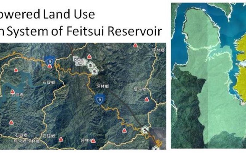
As the main water supply and electricity generator in great Taipei, Feitsui Reservoir is a vital resource in Taiwan. Feitsui Reservoir Administration therefore needs to ensure that water quality, water supply and the land use of catchment area are under control. To timely manage this 303 square meters reservoir, the authority decided to establish a GIS application, so that the officers can well observe and manage the whole area on the map.
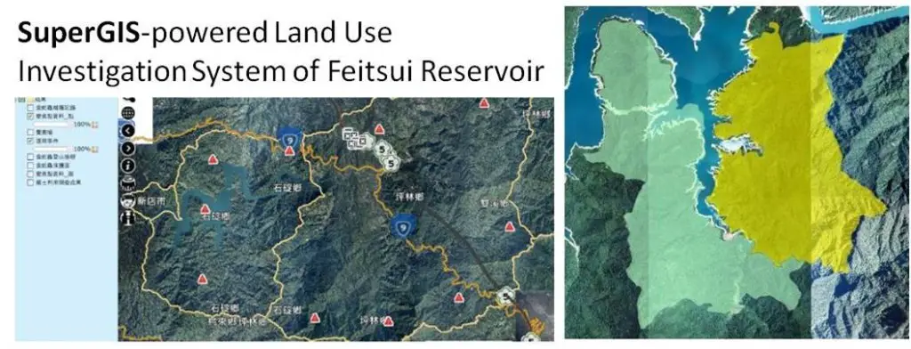
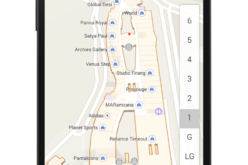
By using SuperGIS Server as the core software, the Land Use Investigation System of Feitsui Reservoir Catchment Area is able to integrate various resources in a single GIS platform. Managers can easily gather related information, like water level and quality, precipitation, satellite images, CCTV, photos with coordinates info, potential landslide areas and location of signs, to make proper decisions in time.
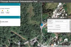
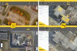
Land Use and Transformation of Catchment Area Management and Query System was also built based on SuperGIS Server to provide administrators a platform in querying and updating latest land use status. With UAV and GPS technologies, administrators can greatly save time on surveying, and manage all the needed data with GIS online.
The systems are not only used as daily water supply information source, but also to provide the authority a tool to monitor and prevent illegal development in catchment areas. Also, with the SuperGIS-powered systems, the authority is able to integrate and exchange its internal data smoothly in supplying better water resources for more lives.
Build up GIS site with SuperGIS Server:
http://www.supergeotek.com/download_6_server.aspx
Using SuperGIS Server to elevate work efficiency:
http://www.supergeotek.com/Library_2_201412.aspx
# # #
About Supergeo
Supergeo Technologies Inc. is a leading global provider of GIS software and solutions. Since the establishment, Supergeo has been dedicated to providing state-of-the-art geospatial technologies and comprehensive services for customers around the world. It is our vision to help users utilize geospatial technologies to create a better world.
Supergeo software and applications have been spread over the world to be the backbone of the world’s mapping and spatial analysis. Supergeo is the professional GIS vendor, providing GIS-related users with complete GIS solutions for desktop, mobile, server, and Internet platforms.
Marketing Contact:
Patty Chen
Supergeo Technologies Inc.
5F, No. 71, Sec. 1, Zhouzi St., Taipei, 114, TAIWAN
TEL:+886-2-2659 1899
Website: http://www.supergeotek.com
Email: patty@supergeotek.com