GIS Resources Magazine (Issue 2 | June 2024): Geospatial Technologies in Mining
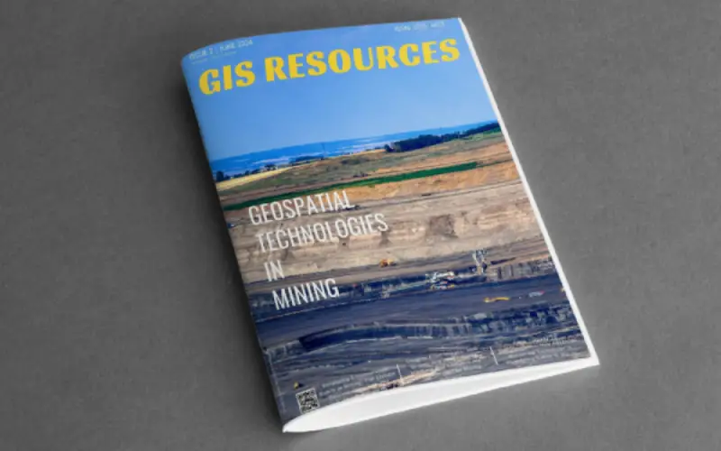
GIS Resources is pleased to announce the publication of its 2nd edition (June 2024) of the print and digital magazine. The edition is titled “Geospatial Technologies in Mining.”
Geospatial technologies are revolutionizing the mining industry by significantly enhancing mine surveying, planning, and safety. These technologies offer unparalleled precision in mapping mining sites, enabling accurate resource estimation and efficient land use. This precision minimizes waste and optimizes extraction processes, ensuring resources are fully utilized.
In planning, advanced spatial analysis tools create detailed models of ore bodies and surrounding terrains. These models inform decisions on infrastructure placement, pit design, and waste management, optimizing transportation routes and reducing environmental footprints.
Safety in mining operations is significantly improved through real-time monitoring using satellite and aerial imagery. This helps detect potential hazards like landslides, allowing for timely interventions and mitigating risks to human lives. Precise positioning data also aids in the safe navigation of autonomous vehicles, reducing accident risks.
Moreover, environmental monitoring is crucial in modern mining. Geospatial technologies track land use and vegetation changes, enabling companies to implement sustainable practices and rehabilitate mine sites effectively post-extraction.
In conclusion, geospatial technologies are essential for modern mining, underpinning precise surveying, meticulous planning, and robust safety protocols. These technologies ensure mining operations are efficient, sustainable, and safe, guiding the industry towards a more responsible and technologically advanced future.
The following are the articles published in this edition:
- Enhancing Environmental Safety in Mining: The EOSDA Success Story with The GoldenEye Project – pg. no. 06 – by Kateryna Sergieieva, Scientist, EOS Data Analytics
- From Tragedy To Transformation: How Advanced Monitoring Technology Is Redefining Safety In Mining – pg. no. 13 – Rafael Cruz, Senior Commercial Technical Consultant, Hexagon
- Insights From Images: How Drones And Image-Based Mapping And Analytics Are Transforming The Mining Industry – pg. no. 17, by Pix4D Content Team, Content Marketing, Pix4D
- Effortless Geospatial Data Downloads with Galileo – pg no. 22, by Mitch Davis, GISDATA.io
Also Read


