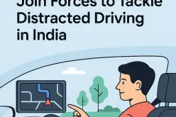
 In recent news, Chandigarh traffic police has planned GPS mapping of the entire city. This maps will be created using Geographical Information System (GIS) and will be uploaded online and accessible to everybody via computers and smartphones.
SSP (traffic) Maneesh Chaudhary said:
“Using modern technology, we hope people would be more aware about these vulnerable accident zones.”
The maps will aware people about accident-prone areas in the city for safe drive. The maps will display the accident-prone areas in fatal and non-fatal zones.
Source: Times of India
Categories:
GIS