The Utah Department of Transportation (UDOT) is spearheading an innovative project that leverages LiDAR in traffic management to enhance safety and efficiency at key intersections. Launched in March 2024, this initiative marks a significant milestone as UDOT integrates advanced LiDAR technology in traffic management across various locations, including 5900 S and State Street in Murray, Redwood Road and 2100 S in Salt Lake City, and 700 E and 1300 S in Salt Lake City.
Additionally, UDOT is testing the capabilities of LiDAR technology in traffic management at two intersections in Provo, an area known for heavy pedestrian and cyclist traffic.
Technical Overview
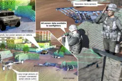
The deployment of LiDAR in traffic management is powered by Seoul Robotics‘ 3D Perception Engine, a cutting-edge system that uses LiDAR sensors to create a detailed digital twin of each intersection. This real-time model enables precise tracking of vehicles and pedestrians, facilitating dynamic traffic signal adjustments.
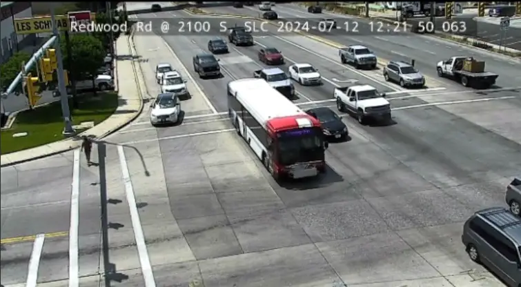
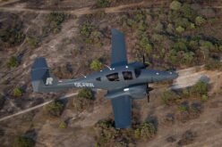
Image Source: Utah Department of Transportation 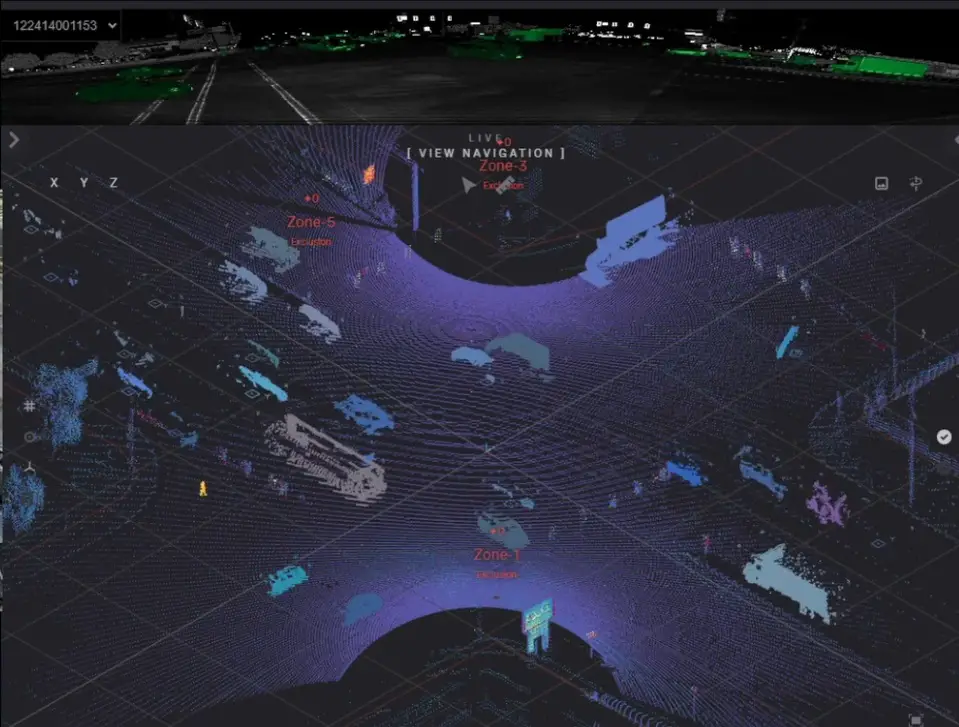
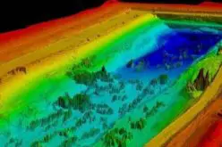
Image Source: Utah Department of Transportation
The system’s LiDAR sensors, installed at strategic points, boast a remarkable 99.8% accuracy in detecting and counting vehicles, significantly enhancing the monitoring of traffic flow and safety.
Also Read – LiDAR Technology for Monitoring Bridge Structure Defects and Health
Moreover, the system’s ability to capture detailed data on red light violations, “near miss” incidents, jaywalking, and pedestrian pathways—including average walking speeds—offers a comprehensive view of intersection activities. This information is crucial for traffic engineers, who can now analyze several hundred feet of roadway in all directions to identify areas where safety improvements are needed.

Project Logic and Implementation
The logic behind UDOT‘s adoption of LiDAR in traffic management is centered around improving safety and efficiency at intersections. The system’s ability to accurately track and classify objects in real-time ensures that traffic signals are adjusted to optimize flow and safety.
For instance, the system can extend green lights for slower pedestrians or quickly resume left-turn signals when no pedestrians are detected, thus minimizing unnecessary delays and enhancing traffic efficiency.
While radar and video technologies are still in use, LiDAR’s high accuracy and recent cost reductions make it an increasingly viable option for UDOT. The non-invasive nature of the LiDAR installation, which required no significant roadwork, further underscores its practicality for urban environments.
Future Prospects
The department is particularly optimistic about integrating LiDAR with future vehicle-to-infrastructure (V2X) technologies, which could further enhance real-time traffic management and safety.