In a significant move to combat the impacts of climate change, Toitū Te Whenua Land Information New Zealand (LINZ) has initiated a comprehensive project to map large portions of the nation’s coastline using high-definition LiDAR (light detection and ranging) technology. New Zealand coastal mapping aims to assist communities in understanding and mitigating the effects of climate change on the nation’s dynamic coastal regions.
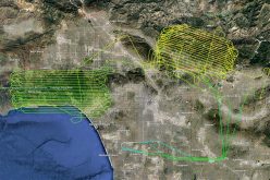
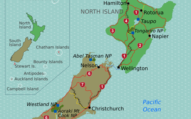
The project has contracted two companies for data collection: Woolpert NZ for the North Island and NV5 Geospatial for the South Island. This summer, New Zealand coastal mapping will focus on regions including Gisborne, Bay of Plenty, Taranaki, Manawatū-Whanganui, Hawke’s Bay, Wellington, Oamaru, Timaru, Dunedin, Southland, and Westland.
Also Read – USGS Developed High-Resolution Imagery of Coastal Wetlands to Identify Vulnerable Marshes across the US
Stuart Caie, leading the 3D Coastal Mapping programme for LINZ, emphasized the importance of this initiative:
“As a small island nation, New Zealanders living and working near the coast are exposed to climate events and natural hazards like tsunamis. These will impact valuable infrastructure, environmental and cultural assets close to the sea, as well as coastal biodiversity.”
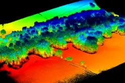
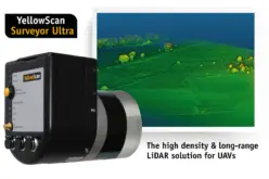
LiDAR technology operates by emitting light pulses from sensors mounted on aircraft flying approximately 500 meters above the ground. These pulses measure distances to the Earth’s surface, constructing detailed 3D representations of the coastline and shallow sea floors. This data is invaluable for assessing coastal changes due to erosion, subsidence, sediment accumulation from severe weather events, and land uplift from seismic activities.
The initiative is timely, as recent data indicates that New Zealand’s sea temperatures have reached record highs, surpassing global averages. Since 1982, oceanic and coastal sea-surface temperatures in New Zealand have increased at rates between 0.16 to 0.34°C per decade, with the highest warming recorded in 2022 and 2023. This significant warming poses threats to marine ecosystems, including mass sea sponge bleaching and disruptions to species distributions.
LINZ plans to map up to 40% of New Zealand’s coastline over the next three years. New Zealand coastal mapping data will be freely available on the LINZ Data Service website and the LINZ Basemaps service upon processing. This information will support scientists and environmental planners in understanding potential impacts and developing strategies to protect communities, infrastructure, and coastal biodiversity.
Additionally, LINZ has begun installing global positioning receivers at sea-level gauges around the coast to measure vertical land movements. This data, combined with sea-level measurements, will enhance the accuracy of sea-level rise assessments, providing crucial information for researchers and planners.
As climate change continues to pose challenges, initiatives like New Zealand coastal mapping are essential for equipping the country with the tools and knowledge needed to navigate and mitigate its impacts effectively.
Sources: