Mapping Application “SituMap”- Lets Emergency Responders See Scenes Virtually
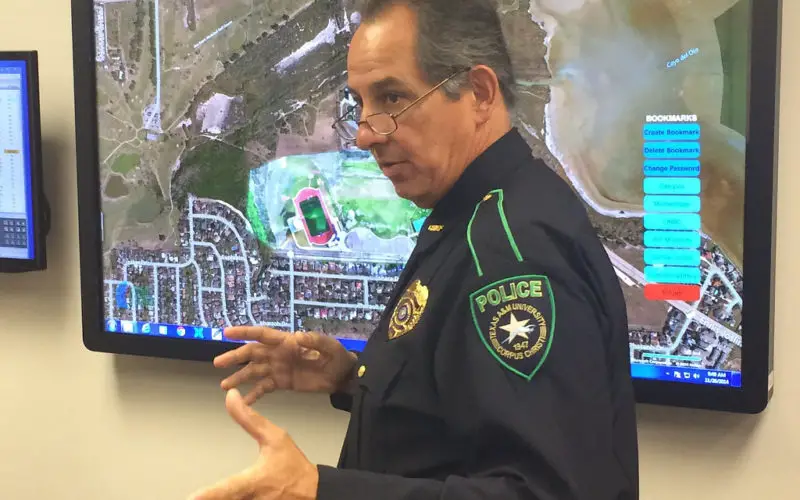
CORPUS CHRISTI, Texas – A mapping application that lets first responders quickly and easily “see” an emergency situation with a digital command center is heading to the commercial market.
The app, called SituMap, created by Dr. Richard Smith, Assistant Professor of Geographic Information Science and Geospatial Surveying Engineering at Texas A&M University-Corpus Christi, is the first product for a newly created company, CartoFusion Technologies (CartoFusionTech.com).CartoFusion Technologies will soon conduct product feedback analysis to determine SituMap pricing, how it will be advertised, and other factors. Within the next six months, the company will begin to drive for sales to the wider community.

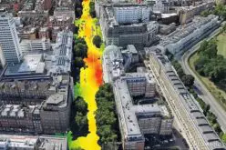
SituMap acts as a tablet-like digital command center that shows law enforcement officers maps of crisis areas. SituMap is an easy-to-learn, multi-user, multi-touch software mapping application focused on cultivating participation, collaboration, conversation, and rapid decision making.
With the touch of a finger, the table-size display can be zoomed, rotated, and drawn on. Like a personalized version of Google Maps, officers can search for locations and measure distances. But it goes further than Google Maps. A pin can be created in the application that could represent a person, police car, or groups of people. The pin can be strategically positioned around the area and directions can then be relayed to officers at the emergency location.
“The goal is to make the world a safer place,” Smith said.
There is nothing else like it out there, Smith said.
“That’s one of our biggest challenges; to find a competitor to compare ourselves,” he said. “But we are just not able to find one. That’s scary and exciting at the same time. We’ve found our niche, but we’re going into unchartered territories.”
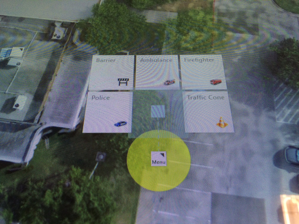
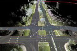
With SituMap, first responders can see real-time information on traffic congestion and weather, which will aid in planning and responding and can result in faster response times. The app can also import multiple sources of information directly into the app, such as UAV imagery, floorplans, and other Web maps.
Smith said the app is currently focused on emergency management and first responders, but there is room to branch out to hospitals, municipal planning offices, oil and gas companies, and any other area requiring mapping capabilities.
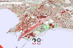
One use, for example, is in a public planning meeting, where SituMap can show existing bike paths and highlight where future bike paths are planned, allowing for manipulation in real time based on input during the meeting.
The company has lined up investors and partners, including A&M-Corpus Christi, the Texas A&M University Texas Engineering Extension, and Texas A&M System Technology Commercialization. Smith is also a partner and founding team member in the company.
“We are proud of the progress of SituMap,” said Dr. Flavius Killebrew, President and CEO of A&M-Corpus Christi. “It is a significant moment for the Island University as the first of many unique and innovative products developed by A&M-Corpus Christi researchers that will be available in the global marketplace.”
Smith and CartoFusion will also set up in the Coastal Bend Business Innovation Center to take advantage of the resources of marketing, mentoring, and business guidance.
“We have lots of angles to explore, and we are excited that the Innovation Center can help with many important tasks such as market analysis, business plan development, and access to office space,” Smith said.