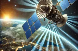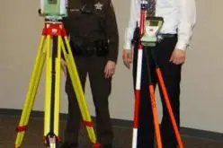
In recent news, the first Space Geodesy and Geophysics Observatory in Southern Hemisphere has been setup in South Africa.
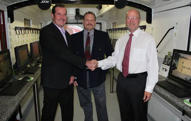
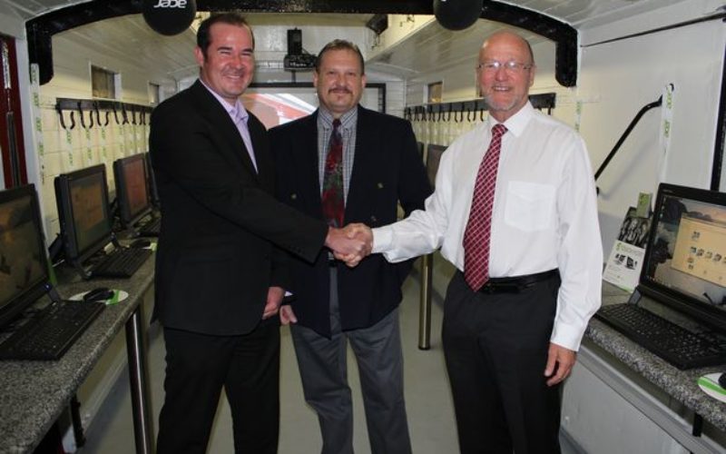
From left to right Marius Le Grange, Acer Education Manager, Marius Cilliers – Managing Member of Tshwane Computer Solutions and Mr Derek Hanekom, South African Minister of Science and Technology.
Image by: Handout
According to Acer Africa the observatory is located in the Central Karoo District of Matjiesfontein in the Western Cape.
The facility will enable researchers to study geodesy, space geodesy, mineral exploration along with exposure to students on subjects like geo informatics.
According to Acer’s press release the observatory’s research will include:
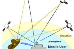
- Lunar Laser Ranging (LLR) and Satellite Laser Ranging (SLR)
- Plate Tectonics and Geodesy
- African Reference Framework (AFREF)
- Student Training (which could be as many as 15 students accommodated on site at any given time)
- Science Outreach and Community Service programmes
- International co-operation and research ventures e.g. with France and Germany
“The programme is aligned with the South African Government’s priorities and we fully support the approach of bringing different partners together in making such a programme work. Innovation is as much about networks and partnerships as it is about creative thinking,” Said Minister of Science and Technology Derek Hanekom.
The favorable condition for LLR and SLR such as clear area and sky, less humidity makes the Matjiesfontein as ideal place for setting up this observatory.
Source: Times Live