
Tag "desktop GIS"
TatukGIS Desktop Editor/Viewer 5
TatukGIS is pleased to announce the version 5 upgrade of its professional GIS Editor, a desktop GIS data editing and mapping application appropriate for a wide range of users and

SuperGIS Manuals Are Now Available Online!
No matter you are a GIS beginner or an old hand; we always have some moments that are uncertain about how to use a particular function, like how to create
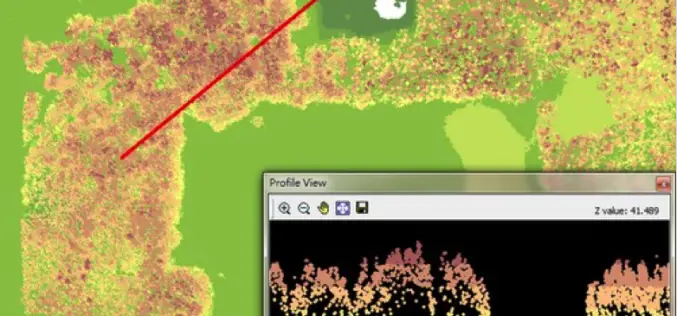
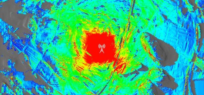
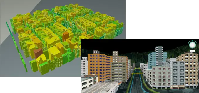
LiDAR, Point Cloud and SuperGIS Desktop 10
Have you ever thought of using LiDAR data through geographic information system to improve field tasks such as Forestry Management, Disaster Prevention, Coastal Change Management, and Contamination Simulation and so
SuperGIS Desktop 3.3 Updated with 3D Analyst and Better Maptile Productivity
SuperGIS Desktop 3.3 is now released for GIS users around the world. With the latest SuperGIS Desktop 3.3, Cache Generator is dramatically improved, supporting multiple machine workflows and providing a consummate
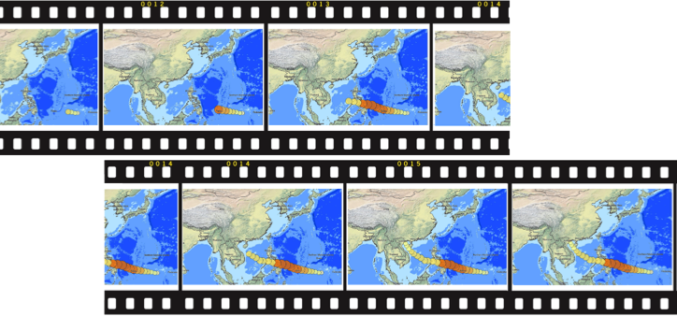
Time to Next SuperGIS Series
Have you ever tried to transform your traditional static map into a living, dynamic map with time dimension? This October, Supergeo is going to formally launch SuperGIS Desktop 10. There
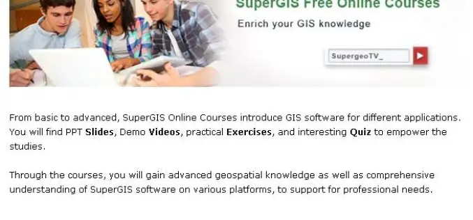
No-Cost Online GIS Courses on SupergeoTV to Enrich Geospatial Knowledge
To facilitate more GIS users and non-GIS professionals with deep understanding in geospatial technology, further applying GIS to diversified domains, Supergeo, the leading GIS solution provider, launches free online courses

Esri and E2open Partner to Deliver Market-Leading Supply Chain Solutions
Customers to Benefit from Rapid Demand-Supply Network Visualization on a Global Scale December 8, 2014 Redlands, California—E2open, the leading provider of cloud-based solutions for collaborative planning and execution across global trading

PhD in Mobile Imaging Sensors Using Airborne Imagery at ITC
The University of Twente, we stand for life sciences and technology. High tech and human touch. Education and research that matter. New technology which drives change, innovation and progress in
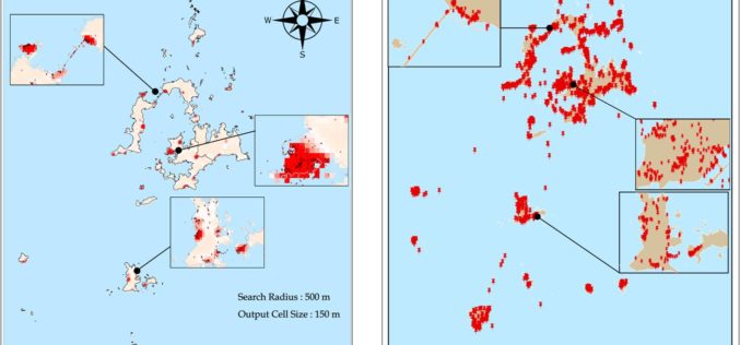
Tag at Hot Tourist Spots with GIS
Tourism management is highly relevant with locations, so GIS is useful to find out better solutions. However, traditional research consumes a lot of time on data collecting, and is limited

SuperGIS Supports Orienteering Club Charity Map Projects
Supergeo Technologies, the global leading GIS software and solution provider, announces that Star Vision Ltd., Supergeo Certified Reseller in Hong Kong, Macau and Guangdong, utilizes SuperGIS in a charity map
