
Tag "3D"
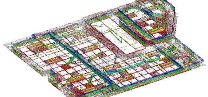
GeoSLAM to Demo Time & Cost Saving 3D Mobile Laser Scanners for Construction Applications at 2018 AGC Convention
NOTTINGHAMSHIRE, U.K., 20 February 2018 – GeoSLAM will demonstrate how its ZEB-REVO RT handheld laser scanner can be used to slash the time and cost required for complex indoor 3D mapping on
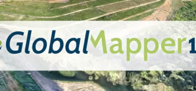
Global Mapper v19.1 Now Available
Global Mapper v19.1 Now Available with 3D Profile Line Exporting, Multivariate Querying, and Expanded Drag-and-Drop Window Docking Blue Marble Geographics is pleased to announce the release of Global Mapper version
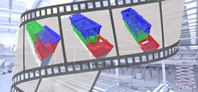
Orbit GT Releases 3D Mapping Content Manager V18
Jan. 30, 2018 – Orbit GT is happy to release the new 3D Mapping Content Manager v18. “The Content Manager is arguably the most unique yet extremely powerful product in our
PDF3D’s V2.15 Brings New Tech, Panoramic 360 and Patented Point Cloud Simplification along with Highest Performing 3D PDF Conversion SDK
Popular 3D PDF conversion application brings a host of new features for CAD, scanning and photography, while putting DevOps first in the latest 3D PDF Development Toolkit PDF3D’s ReportGen V2.15

UNSW Will Produce 3D Digital Maps of Sydney’s Buildings And Infrastructure
Leading geospatial scientist Sisi Zlatanova is joining UNSW to head a research centre that will produce 3D digital maps of Sydney’s buildings and infrastructure. According to recent news published by University of New
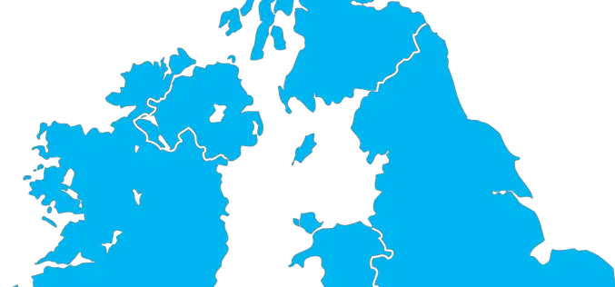
The Environment Agency to Map England’s Entire Landscape with 3D Laser Mapping
The Environment Agency has announced plans to map England’s entire landscape by 2020, using the data to assess flood risk and inform conservation work. December 30, 2017 – Environment Agency – The Environment Agency
Bryden Wood and 3D Repo Launch Cloud Based 4D Virtual Reality Models for Construction Projects
London, 14 December 2017 – Integrated design and operations consultancy for the built environment, Bryden Wood, and BIM technology innovator, 3D Repo, have launched a new platform for visualising how

GeoSLAM Celebrates Five Years in Business with New HQ, Record Growth
Nottinghamshire, U.K. 13 December 2017 – Leading 3D mobile mapping technology specialist, GeoSLAM, is on track to achieve its growth ambitions in 2018 after relocating to new UK headquarters. The Nottinghamshire-based
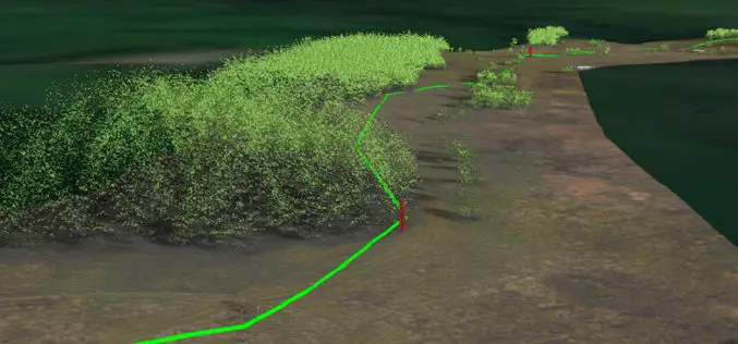
National Grid Trial Aerial LiDAR Inspection for Gas Network
December 12, 2017 – National Grid have announced they are conducting a trial programme using laser scanning data to deliver safety and operational efficiency improvements across their network. In a UK

Mapbox Acquires Fitness AR to Deepen its Focus on Augmented Reality
Team behind top AR app will lead rapidly expanding Mapbox team focused on design and developer innovation SAN FRANCISCO, Dec. 1, 2017 /PRNewswire/ — Mapbox, the mapping and location platform for developers, today
