
Tag "Aerial LiDAR"

Bangalore Started Rooftop Solar Energy Potential Mapping Using Aerial LiDAR
According to recent news reported by The Hindu, Over the fortnight, a helicopter armed with LiDAR system will fly across the city, mapping its potential to generate rooftop solar energy. The
National Grid Trial Aerial LiDAR Inspection for Gas Network
December 12, 2017 – National Grid have announced they are conducting a trial programme using laser scanning data to deliver safety and operational efficiency improvements across their network. In a UK

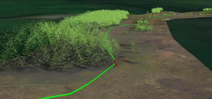
Velodyne LiDAR Partners with YellowScan for Integrated LiDAR for UAVs
YellowScan to leverage Velodyne’s lightweight VLP-16 Puck LiDAR sensors for its advanced aerial Surveyor LiDAR system October 26, 2017 – SAN JOSE, Calif.–(BUSINESS WIRE)–Velodyne LiDAR Inc., the world leader in 3D

Aerial LiDAR Survey to Produce 3D Flood and Hazard Maps for River System in Philippines
Catandunganon, Philippines – Recently a team from the Department of Science and Technology (DOST) and the University of the Philippines Training Center for Applied Geodesy and Photogrammetry (UP TCAGP) has conducted

World’s Biggest Aerial LiDAR Survey to Reveal Angkor Wat Historical Secrets
Angkor, in Cambodia’s Northern Province of Siem Reap, is one of the most important archaeological sites of Southeast Asia and listed in world heritage sites by UNESCO. Stretching over some

Aerial LiDAR to Study Impact of Colorado Flood on Soil Erosion
Anderson and colleagues use repeat aerial LiDAR to quantify the erosional impact of the heavy rains that inundated the Colorado Front Range in September 2013. One week of steady rain and
