
Tag "Agriculture"
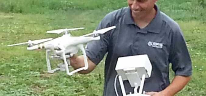
Drones to Access Crop Condition and Farming Possibilities
Drones in agriculture have transformed the way of capturing remotely sensed data and have proven their capability in many other domains. With the capability of acquiring high resolution data (spatial, spectral,
SuperSurv for Android Helps Irrigate Farms in Spain
Supergeo, the total GIS software solution provider, announces that Almacelles Irrigation Community, Spain utilizes SuperSurv for Android to improve irrigation efficiency and productivity. SuperSurv is a powerful mobile GIS App

Polytechnic University of Marche, Italy, Select SuperGIS for Geospatial Applications
The Polytechnic University of Marche, Italy (aka, UNIVPM) selects SuperGIS Desktop to build a professional teaching laboratory of engineering, environment observation and agriculture, to train outstanding geographic information personnel. Ranking

Tool for Remote Sensing Biomass Measurement
Terra Global Capital has developed a Tool for Remote Sensing Biomass Measurement. The Remote Sensing Biomass Measurement tool provides a method for determining Above Ground Live Tree Biomass (ALFB) through a
