
Tag "Agriculture"
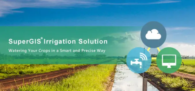
Supergeo Partners with Agricultural Engineering Research Center to Develop Irrigation Solution
Supergeo is excited to announce that Agricultural Engineering Research Center (AERC), the leading research institute in irrigation study, has collaborated with Supergeo to develop an irrigation solution based on SuperGIS
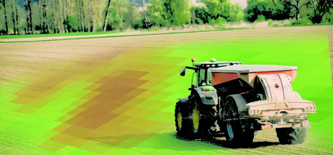
DLR at Agritechnica in Hanover – Assistance from Space: Satellite Data for Digital Agriculture
Satellite information facilitates the modern management of agricultural land Agritechnica is the world’s largest trade fair for agricultural machinery, with 2900 exhibitors from 52 countries and 450,000 visitors (2015) Focus:
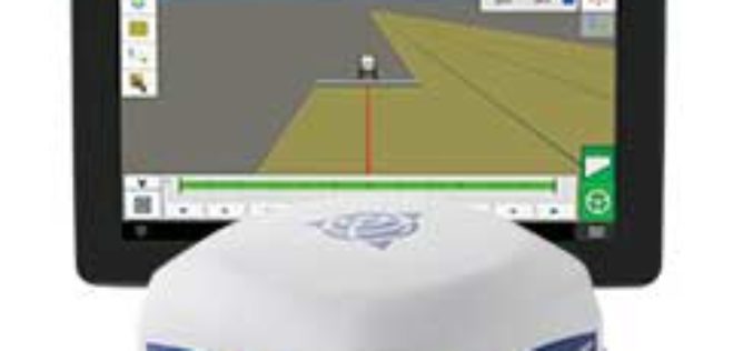
Trimble Introduces ISOBUS-Compatible GFX-750 Display System with Advanced Guidance Controller for Agriculture Applications
Enhanced Connectivity with Integrated Wi-Fi and Bluetooth Communications SUNNYVALE, Calif., Oct. 30, 2017—Trimble (NASDAQ: TRMB) introduced today the Trimble® GFX-750™ display system for agriculture applications. The display system comes with

How Will Ag Technology Revolutionize Global Food Production?
How Will Ag Technology Revolutionize Global Food Production? Find out at the second annual PrecisionAg® Vision Conference Final Agenda delivers high-impact keynotes, track for specialty crops, Arizona field tour Willoughby,

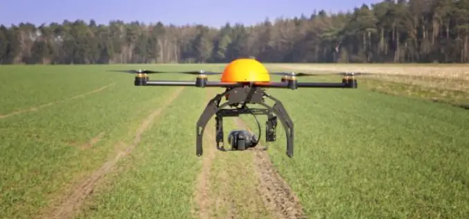
Icaros and Agrowing Announce Integrated Drone Multispectral Mapping Solution for Agriculture
FAIRFAX, Virginia, USA / Tel Aviv, Israel, 29 August 2017 – Icaros Inc., a leading provider of aerial imaging software, and Agrowing, a leading supplier of multispectral sensors and analytics software, are pleased

MicaSense Atlas is Now Integrated with Pix4D Desktop Software
This partnership is designed to offer MicaSense customers the power of desktop processing, as well as the flexibility of MicaSense Atlas. “Our customers value Atlas as an analytics and collaboration

CNH Industrial and Trimble Announce Data Sharing Connectivity
Integration Enables Farmers to Access their CNH Task Data within the Trimble Ag Software Solution ST. LOUIS, Mo., July 25, 2017—Trimble (NASDAQ: TRMB) and CNH Industrial (NYSE: CNHI / MI:
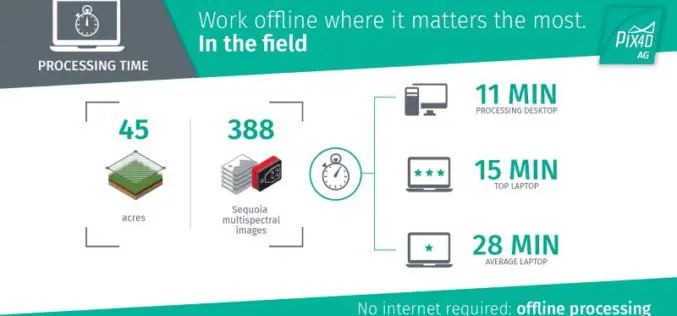
The Power of Offline Processing: Why Desktop is Essential for Drone Mapping in Agriculture
Part 2: Processing in the Field In Part 1 of this mini-series we went over why it makes sense in agriculture to import images directly to Pix4Dag Desktop. We concluded that

In Defense of Desktop: Why Desktop is Essential for Drone Mapping in Agriculture
Part 1: How quickly can you go from landing to processing? If you want an NDVI map while you’re still in the field, cut out a potentially long upload to
Drones in Agriculture and Hands-On Drone-to-GIS Workflows
Hands-On Drone-to-GIS Workflows Sponsored by the Michigan State University Institute of Agricultural Technology, in coordination with RS&GIS and Northwest Michigan College. This unique and comprehensive, instructor-led training course is taught
