
Tag "Agriculture"
senseFly Webinar: Ag Drone Insights
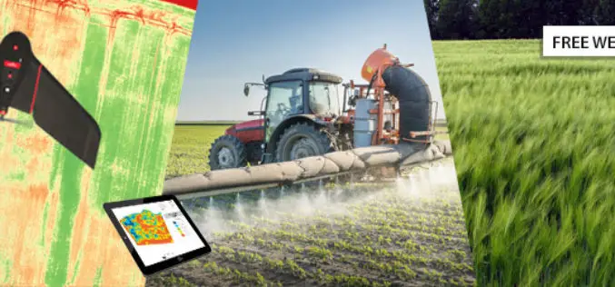
Ag Drone Insights Experienced agronomists discuss UAV applications, results, ROI & more Tuesday, JAN 24, 2017 In this webinar you will learn: How to choose, adopt, & operate drone tech The

ICBA Workshop on Unmanned Aerial Vehicles for Remote Sensing and Photogrammetry
Unmanned Aerial Vehicles for Remote Sensing and Photogrammetry Monday, March 20, 2017 – Wednesday, March 29, 2017 International Center for Biosaline Agriculture (ICBA) is an international, non-profit agricultural research center
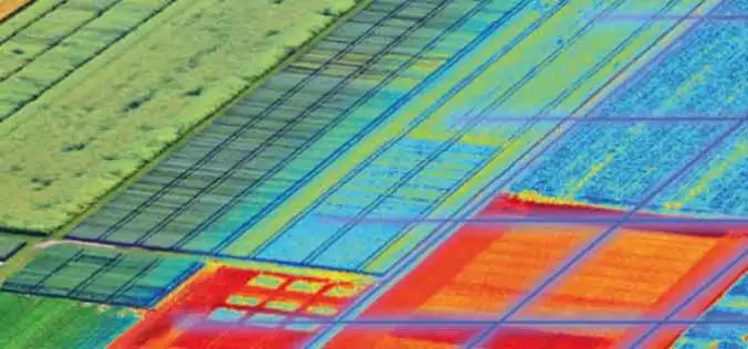
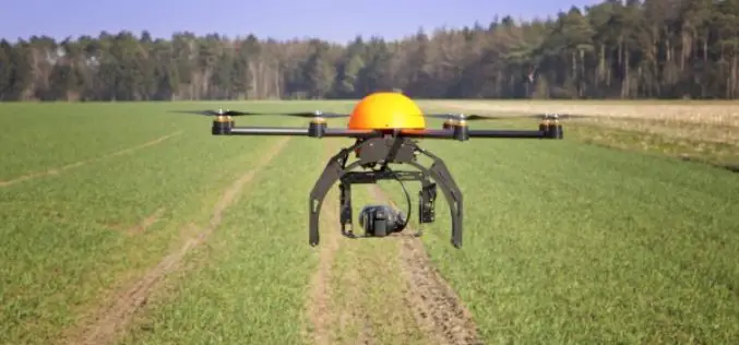
5 Drones for Precision Agriculture on Geo-matching.com
Drones (also known as Unmanned Aerial Vehicles) are used for various applications such as surveying, surveillance and habitat mapping. An interesting new application is precision agriculture. Drones can be used
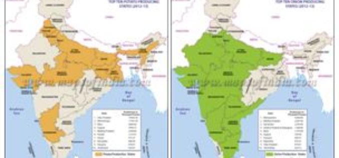
Agriculture Ministry Plans to Utilize Remote Sensing to Map Potato & Onion Cultivation Area
NEW DELHI: According to recent news by The Economic Times, the agriculture ministry is planning to use remote sensing technology to map the area under potato and onion cultivation for
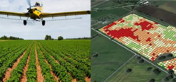
USDA Funds Bodkin Design to Develop UAV Sensor for Precision Agriculture
Bodkin Design & Engineering, LLC has been awarded a $100,000 contract from the U.S. Department of Agriculture (USDA) to develop a compact hyperspectral imager for UAV platforms. This unique camera
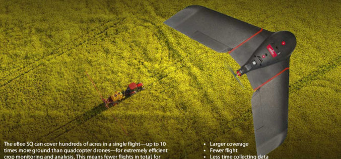
senseFly Ups The Agricultural Ante With Launch Of High Precision, Large Coverage eBee SQ Drone
This new drone is built for the Parrot Sequoia multispectral camera and can cover up to 10 times more ground than small quadcopter systems Cheseaux, Switzerland, August 31 — Swiss
Govt. to Use Drones Based Technologies in Farming Sector
During the Monsoon session of Indian Parliament, the Minister of State in the Ministry of Agriculture and Farmers Welfare, Shri Sudarshan Bhagat had informed the house that soon drone or
Use Modern Technology for Timely, Accurate Agriculture Data
New Delhi, Jun 29 (PTI) With time lag in agri-data hindering the policy making process, Agriculture Minister Radha Mohan Singh today asked the Statistics Ministry to use modern technologies like
Unleash Agri-Production With Geospatial Technology
Contributed By:- “Food security exists when all people, at all times, have physical, social and economic access to sufficient, safe and nutritious food that meets their dietary needs and food
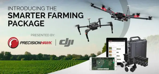
PrecisionHawk And DJI Deliver Easy-To-Use Drone And Data Packages For Farmers
The pre-assembled package, which includes DJI’s hardware platform plus PrecisionHawk’s flight and analytics software, is seamlessly integrated to provide a cost-effective and easy remote sensing tool for agriculture PrecisionHawk and
