
Tag "Air Quality"
Advanced Webinar: Data Analysis Tools for High Resolution Air Quality Satellite Datasets
Advanced Webinar: Data Analysis Tools for High Resolution Air Quality Satellite Datasets January 17, 2018 to Monday, January 22, 2018 High-resolution air quality data is helpful for monitoring urban air
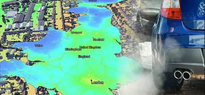
EarthSense Release New Nationwide Map of Air Pollution. MappAir
November 29, 2017 – EarthSense Systems has published MappAir® – the first ever high resolution nationwide map of air pollution. Combining data from satellites and its own air quality monitoring sensors
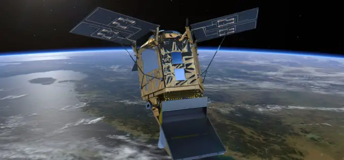
Sentinel‑5P – First Copernicus Mission Dedicated to Monitoring Our Atmosphere
October 13, 2017 – The first Copernicus mission dedicated to monitoring our atmosphere, Sentinel‑5P, has been launched from the Plesetsk Cosmodrome in northern Russia. Sentinel-5P belongs to the Copernicus satellite fleet,

Invitation to Submit Abstracts to AOGS Session on Satellite Remote Sensing of Air Quality
Satellite Remote Sensing Methods and Data Applications for Air Quality Monitoring and Research in Asia Abstract to Session #AS15 of the 2017 AOGS (Asia Oceania Geosciences Society) Annual Meeting (August
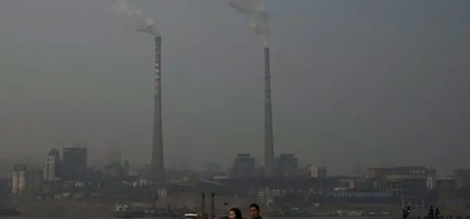
Air Pollution Levels Rising in Many of the World’s Poorest Cities
GENEVA – More than 80% of people living in urban areas that monitor air pollution are exposed to air quality levels that exceed WHO limits. While all regions of the

Real Time World Air Quality Mapping
Recently, aqicn.org has published Air Quality mapping information system in real-time for over 70 countries. The data is continuously collected, gathered and processed in real-time from more than 5900 feeds. Only

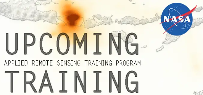
NASA Air Quality Remote Sensing Training for SESARM & GEPD
The goal of the NASA Applied Remote Sensing Training (ARSET) is to increase the utility of NASA earth science and model data for policy makers, regulatory agencies, and other applied
Water Quality Monitoring Using Remote Sensing Measurements
The goal of the NASA Applied Remote SEnsing Training (ARSET) is to increase the utility of NASA earth science and model data for policy makers, regulatory agencies, and other applied
