
Tag "geospatial"
Global Push for Earth Observations Continues
The Group on Earth Observations (GEO) has been working for more than a decade to open access to Earth observation data and information, and increase awareness around their socioeconomic value.
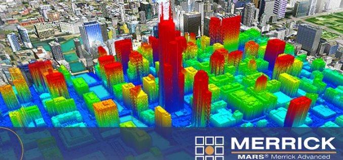
Merrick Releases MARS® 2017 Software Suite
Merrick & Company, a global leader in light detection and ranging (LiDAR), digital orthophotography, hyperspectral imaging, and geographic information systems (GIS) data integration, is pleased to announce the release of
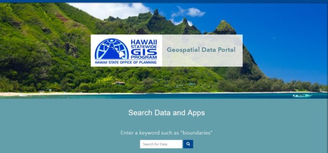
Hawaii Launches Geospatial Data Portal
According to recent news, the state Office of Planning’s Hawaii Statewide Geographic Information System (GIS) Program launched a new Geospatial Data Portal, which provides streamlined access to hundreds of data
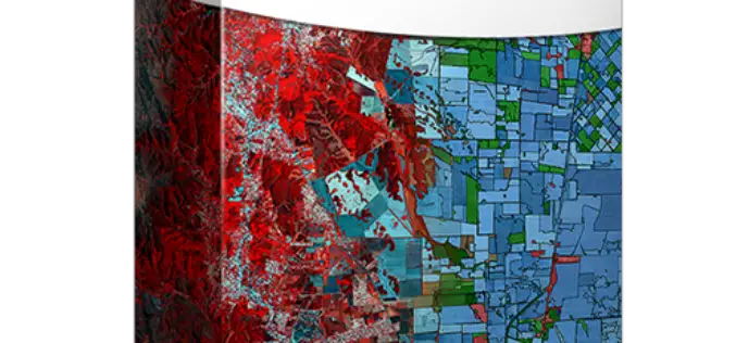
PCI Geomatics Releases Geomatica 2017, Featuring Geomatica Object Analyst and Geomatica InSAR Modules
MARKHAM, Ontario, Canada — April 11, 2017: PCI Geomatics, a world leading developer of remote sensing and photogrammetric software and systems, announced today the release of Geomatica 2017 – the
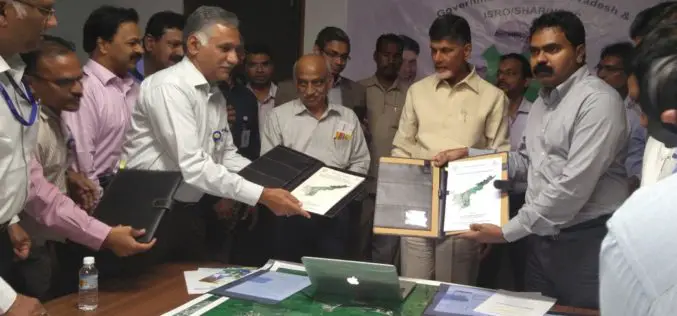
ISRO signs Three MoUs with Government of Andhra Pradesh for use of Geospatial Technology
India – The Government of Andhra Pradesh (Govt. of AP) signed Memorandum of Understanding (MoUs) with ISRO for the deployment of space technology in governance and development of the State. Following
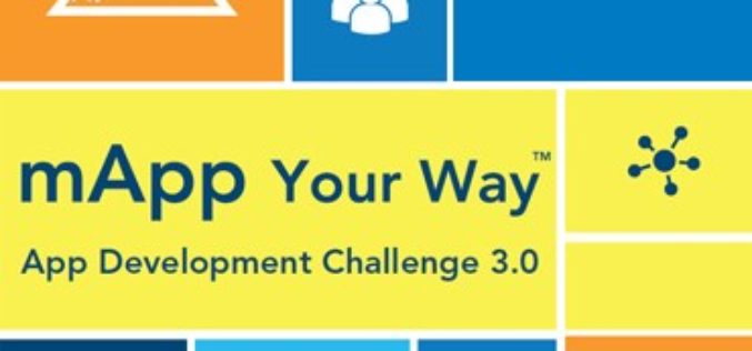
mApp Your Way – Esri India App Development Challenge
mApp Your Way is an application (mobile or web) development challenge being organized by Esri India. The challenge intends to provide a platform to the institutes and students (UG/PG/Research scholars) to showcase
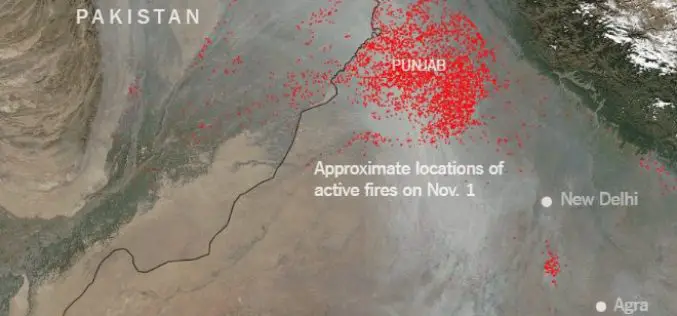
Punjab to use Remote Sensing and SMS Technology to Battle Against Crop Residue Burning
According to recent news reported by the Times of India, Punjab is set to make its battle against crop residue burning real time, with the state authorities using geospatial data

Earth-i Steps Up to Support the UK Space Industry
Earth-i has taken the opportunity to support the UK Space industry’s main gathering to discuss policy, progress and challenges by becoming a Gold Sponsor of the UK Space Conference 2017 held
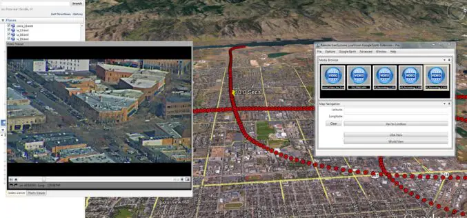
Remote GeoSystems Launches LineVision Google Earth Extension for Project Reporting with Geotagged Videos & Photos
Remote GeoSystems Releases All-New LineVision Google Earth Extension for Geotagged Video Playback, Analysis, Collaboration and Reporting Using Google Earth & Other GIS FORT COLLINS, Colorado – Remote GeoSystems, Inc. is

OGC Seeks Public Comment on ‘GML Application Schema – Coverages, GRIB2 Coverage Encoding Profile’ Candidate Standard
The Open Geospatial Consortium (OGC®) is seeking public comment on the candidate standard GRIB2 Coverage, an Encoding Profile of the OGC Coverage Implementation Schema. The candidate standard specifies the usage
