
Tag "GIS software"
Customize your GIS platform easily with Python!
As a professional GIS work platform, SuperGIS Desktop has a variety of functions for map data management, data editing and data analyzing. SuperGIS Desktop also supports diverse databases and services
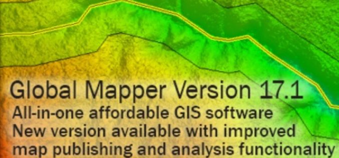
Global Mapper 17.1 Released with Improvements to Map Publishing and Analysis Tools
Hallowell, Maine – February 2, 2016 – Blue Marble Geographics (bluemarblegeo.com) is pleased to announce the availability of Global Mapper version 17.1. This intermediate upgrade to the version 17 release
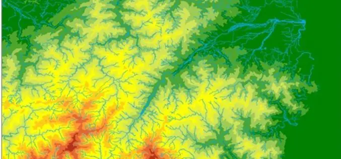
The Local Water Corporation of the Philippines Selects SuperGIS Desktop
The leading GIS software and solution provider, Supergeo Technologies Inc., announces that the water corporation of Butuan city, southern Philippines, has selected SuperGIS Desktop Professional as the platform for displaying
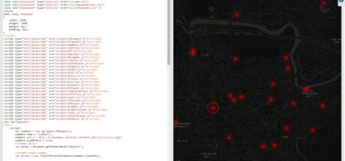
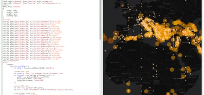
Design an Interactive Map SuperGIS Server
The biggest difference between a printed map and a digital map is that the digital map provides interactivity for users. For example, with GIS software, users can click on a
Boundless Releases OpenGeo Suite 4.8
Newest Version Includes Support for Mapbox Vector Tiles, NetCDF for Atmospheric Data, and Improved Rendering Support Boundless, the leader in commercially supported, open source, geospatial software, has released OpenGeo Suite
Esri Unveils ArcGIS Earth to the World
Free Interactive 3D Globe Allows Everyone to Visualize, Explore, and Understand Spatial Data Esri, the world leader in mapping technology, has launched ArcGIS Earth, a free, desktop-based interactive globe that
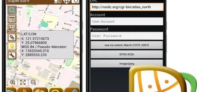
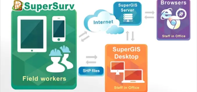
SuperSurv 3.3 Delivers the Best Mobile GIS Experience
SuperSurv 3.3 for Android, the best smart mobile GIS Application developed by Supergeo has just released an updated edition with new features and improvements! In this version, SuperSurv 3.3 not
Romanian Surveying Company Selects SuperSurv
With assistance from Helix SRL, Supergeo’s partner in Italy, the Romanian company Black Light SRL has recently selected the well-known mobile GIS software SuperSurv as its mobile geospatial solution. Established
New Release of SuperGIS Server 3.2
Supergeo is proud to announce that the latest version of SuperGIS Server 3.2 is now available on our official website. This release includes some new features as well as improvements
Nepali Infrastructure Firm Chooses SuperGIS Desktop Professional
With the collaboration of Indian geospatial professional company, Satpalda Geospatial Services, the Nepali infrastructure firm in Kathmandu, Evernal Infrastructure Ltd., has selected SuperGIS Desktop 3.3 Professional and relevant extensions for

