

Tag "GIS software"

French Energy Company SPIE chooses SuperPad To Enhance Survey Efficiency
Supergeo, the total GIS software solution provider, announces that SPIE, France, chooses SuperPad, the mapping application designed for Windows Mobile,to empower its streetlights and other utilities survey works. SPIE, the
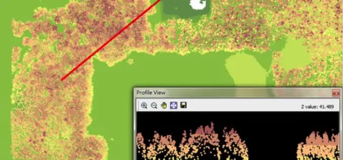
LiDAR, Point Cloud and SuperGIS Desktop 10
Have you ever thought of using LiDAR data through geographic information system to improve field tasks such as Forestry Management, Disaster Prevention, Coastal Change Management, and Contamination Simulation and so

Blue Marble Webcast: Attribute Management in Global Mapper
Blue Marble Webcasts: Attribute Management in Global Mapper August 25, 2015 No Registration Required Synonymous with the “I” in GIS, attribution is the data associated with features that are spatially

SuperSurv 3.3 Brings Whole New Experience to Field Tasks
SuperSurv 3.3 for Android, the mobile survey GIS App developed by Supergeo, is now upgraded and released, with new and improved functions. The new SuperSurv 3.3 not only enables users
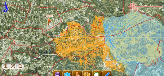
SuperSurv for Android Helps Irrigate Farms in Spain
Supergeo, the total GIS software solution provider, announces that Almacelles Irrigation Community, Spain utilizes SuperSurv for Android to improve irrigation efficiency and productivity. SuperSurv is a powerful mobile GIS App
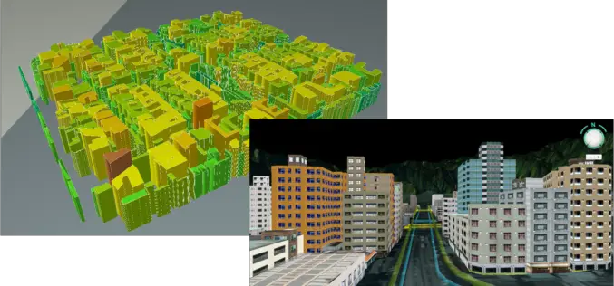
SuperGIS Desktop 3.3 Updated with 3D Analyst and Better Maptile Productivity
SuperGIS Desktop 3.3 is now released for GIS users around the world. With the latest SuperGIS Desktop 3.3, Cache Generator is dramatically improved, supporting multiple machine workflows and providing a consummate

Blue Marble Geographics Announces First Certified Trainer of Global Mapper
Blue Marble Geographics (bluemarblegeo.com) is pleased to announce that Engesat International S.A. of Brazil has successfully completed the training certification program. Together with his team, Laurent Martin, owner of Engesat
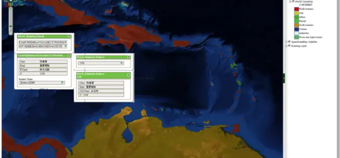
SuperGIS Server Extends Map Possibilities with Various Resources
This week, Supergeo releases the latest version of SuperGIS Server with plenty of new functions, including related tables, improved JavaScript print tool, and new JavaScript APIs supporting OGC layers. With

Supergeo Confirms Dealership with National Space Organization for FORMOSAT-2 Satellite Imagery
Supergeo Technologies, the leading GIS software and solution provider, announces an agreement with National Space Organization (NSPO), Taiwan to resell the satellite imagery of FORMOSAT-2. The 891 km-above-ground FORMOSAT-2 is
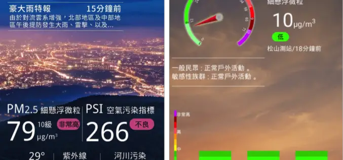
Real-Time Environment Info App – Connecting Smart Tech with GIS
Environmental Protection Administration, Taiwan has offered citizens and governmental sectors a comprehensive information portal since 2000, to meet the global concerns of environments. The portal provides visitors with various real-time
