
Tag "GIS"

Explore Places of Tourist Interest – Ajmer City
Contributed By:- Ajmer, located in the Ajmer District of Rajasthan is the 5th largest city of the state, and is located at a distance of 135 km from the capital

SuperGIS Manuals Are Now Available Online!
No matter you are a GIS beginner or an old hand; we always have some moments that are uncertain about how to use a particular function, like how to create
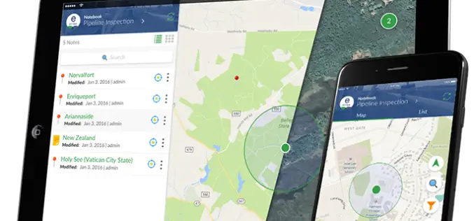
TerraGo Webinar: How to Build Custom Cloud-Based, Enterprise Mobile Apps with Clicks Not Code
TerraGo Webinar: How to Build Custom Cloud-Based, Enterprise Mobile Apps with Clicks Not Code June 6, 2017 | 12:00 PM (ET) TerraGo Magic enables any organization to rapidly transform their

Maharashtra Government to Spend INR 260 Crore for GIS Mapping of ULBs
According to recent news by TOI – The state cabinet on Tuesday sanctioned Rs 260 crore for GIS mapping(Geographic Information System) of all the C and D municipal corporations, Councils

Esri India Webinar: Mapping, Advanced Analytics and Sharing Maps with ArcGIS Desktop 10.5
Webinar: Mapping, Advanced Analytics and Sharing Maps with ArcGIS Desktop 10.5 Date: Thursday, May 25, 2017 | 11:00 AM IST onwards ArcGIS 10.5 is a big release; arguably one of

Varanasi the Spiritual Capital of India – a Journey Through Esri Story Map
Contributed By:- Varanasi (Kashi or Banaras) is a city in the northern Indian state of Uttar Pradesh dating to the 11th century B.C. Regarded as the spiritual capital of India,

Odisha Government Includes 7 Kharif Crops Under PMFBY Insurance
According to recent news by the Outlook, Odisha government has recently decided to include seven major crops – paddy, groundnut, cotton, turmeric, ginger, red-gram (arhar) and maize – under the
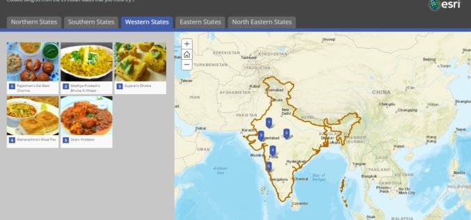
Story Map – Food Specialties of India
Contributed By:- Indian food is different from rest of the world not only in taste but also in cooking methods. It reflects a perfect blend of various cultures and ages.
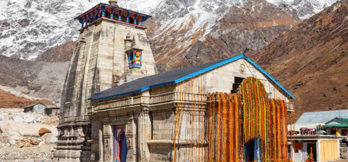
Satellite Mapping of Kedarnath to Boost Tourism
According to recent news by the Hindustan Times, the state government of Uttrakhand is set to conduct mapping of Kedarnath area, including the famed shrine town, using high-resolution satellite images

Glimpse of The Dandi March Through Esri Story Map
The Salt March, also mainly known as the Salt Satyagraha, began with the Dandi March on 12 March 1930 and was an important part of the Indian independence movement. The
