
Tag "GIS"
Boosting Revenue with GIS-based Cess Collection in Bihar
The Bihar government is implementing a GIS-based cess collection system to cover all construction activities, whether government, commercial, or private, across the state. This innovative approach, led by the state’s

How Spatial-Temporal Data Revealed Hepatitis B Patterns in China
Hepatitis B virus (HBV) infection remains a significant public health concern in China, a country with one of the highest burdens of this disease worldwide. Despite ongoing efforts to control
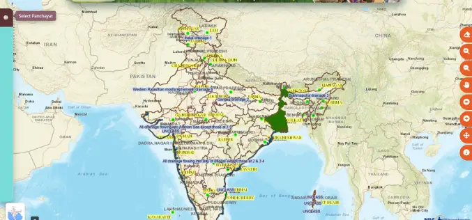
Revolutionizing Rural India: Geospatial Innovations with Gram Manchitra
The Ministry of Panchayati Raj in India has introduced several digital initiatives to support spatial planning and improve transparency in local village councils, known as Gram Panchayats. One key initiative

What is Digital Twin and How Does It Work?
In today’s rapidly evolving technological landscape, Digital Twin technology has emerged as a groundbreaking innovation, especially in the geospatial sector. Digital twins are virtual replicas of physical entities that mirror

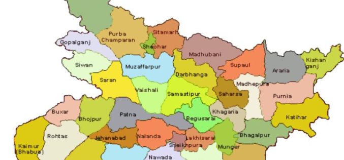
Karnataka to Implement GIS for Streamlined Construction Cess Collection
The Karnataka state government is set to implement a GIS-based construction cess collection system. It is a strategic move to enhance revenue collection and streamline administrative processes. This initiative aims
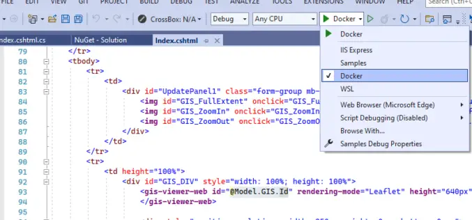
TatukGIS Releases SDK for ASP.NET Core
TatukGIS has released the ASP.NET Core edition of its GIS Developer Kernel (DK) product for developing custom web GIS applications for Windows, Linux, and macOS servers (including Docker). Support includes application development

Remote Sensing and GIS for Sustainable Forest Management
The data needed for forest management include wood procurement potential, forest cover, growing stock volume, and biomass carbon balance.
New Lemur Release Extends Enterprise Mobile GIS Capabilities
Intuitive Critigen solution delivers enhanced data synchronization, scalability, and security for tens of thousands of field workers Critigen today announced the latest release of Lemur, its mobile GIS solution. Lemur delivers enterprise
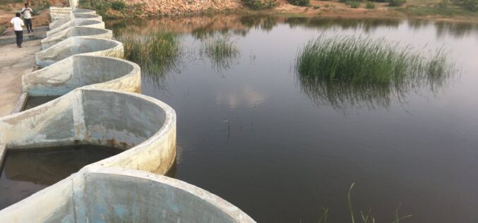
How Remote Sensing and GIS are Used to Build Check Dams Under MGNREGA?
Remote Sensing and GIS are useful to identify and choose a suitable site or probable locations for check dams. This helps to ensure best site for check dam’s construction and to prevent unscientific construction.
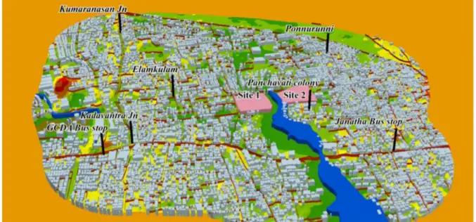
GIS-based System for Optimal Site Selection of Sewage Treatment Plants
Kerala Water Authority (KWA) has come-up with a new tool using Geographical Information System (GIS) for optimal site selection of Sewage Treatment Plants (STP). A GIS is a system designed
