
Tag "GIS"
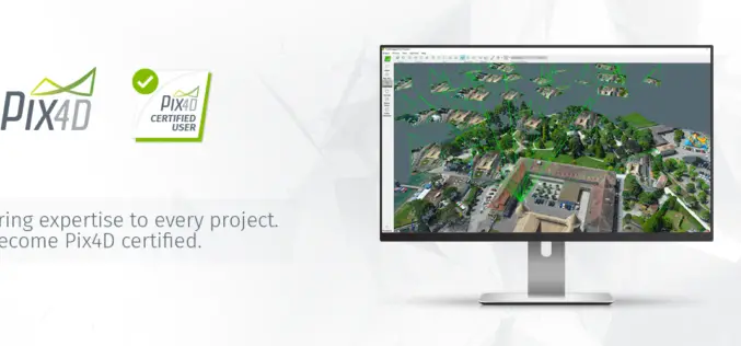
Pix4D Announces a New User Certification Program
Drone technology is rapidly evolving and our technology is changing daily. Being a Pix4D certified user will allow users to benchmark their skills and technical knowledge of drone mapping photogrammetry.

Global Mapper v.19 Now Available with New Attribute Table Editor and Interactive Hillshade Rendering
Blue Marble Geographics is pleased to announce the release of Global Mapper version 19. With numerous functional improvements and performance enhancements throughout the application, the version 19 release is further

Several Improvements Made in the Latest Version of SuperGIS Desktop 10
Developed by Supergeo, one of the world’s leading brands of GIS software, SuperGIS Desktop is a multifunctional product designed for desktop computers. It enables users to accomplish diverse tasks, including
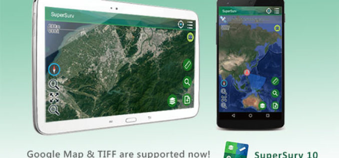
SuperSurv 10.1 Supports New Raster Formats and Online Maps
As the information technology constantly evolves, the geospatial industry also grows fast. Currently, including many open source projects, numerous services are providing online maps to geospatial professionals. As professional and
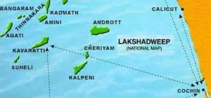
Uninhabited Lakshadweep Island Vanishes, Study using GIS & Remote Sensing
Kochi, Sep 6 (PTI) One of the biodiversity-rich uninhabited islands part of Lakshadweep has vanished due to coastal erosion and another four such territories in the sea are shrinking fast, claims
Boundless Donates $100,000 to LaunchCode in Support of CoderGirl Education Program
Donation Will Be Used to Support and Expand Program Throughout the St. Louis Area NEW YORK – August 29, 2017 – Boundless, the leader in open GIS, today announced that it
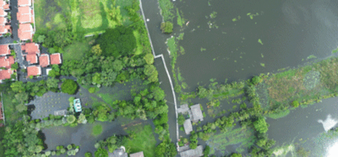
Tamil Nadu Government Started UAV Survey to Map Flood-Prone Areas
According to recent news by The Hindu, the Tamil Nadu Government in association with Anna University has launched an Unmanned Aerial Vehicle (UAV) for Photogrammetric mapping of water resources in Cuddalore

Esri and Smart Dubai Sign Enterprise Agreement
Agreement Empowers Dubai Government with Resources for Smart City Advancement August 8, 2017 – Redlands, California—Esri, the global leader in spatial analytics, announced today that Smart Dubai, the government agency leading
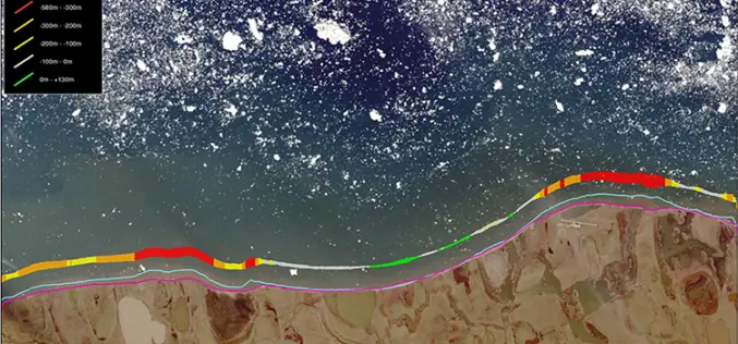
TCarta Marine Changes the Way Dynamic Environments are Managed and Monitored with Introduction of Vector Shorelines
DENVER, Colorado, USA, 8 August 2017 – TCarta Marine has made the world’s most dynamic environments easier to monitor and manage with the introduction of its new multi-scale Shoreline Products. Offered in

Embarcadero and TatukGIS Announce New Tool for RAD Studio
Latest geographic information system development kit allows RAD Studio developers to create desktop, client-server and mobile GIS apps AUSTIN, Texas–(BUSINESS WIRE)–Embarcadero Technologies (a division of IDERA) and TatukGIS today announced that TatukGIS has released
