
Tag "GIS"
Gauhati University to Start GIS and RS in Undergraduate Courses
Gauhati University is now planning to implement, theoretical and practical approaches to the current syllabus of Geography for undergraduate students. Students studying geography as their major subject will get
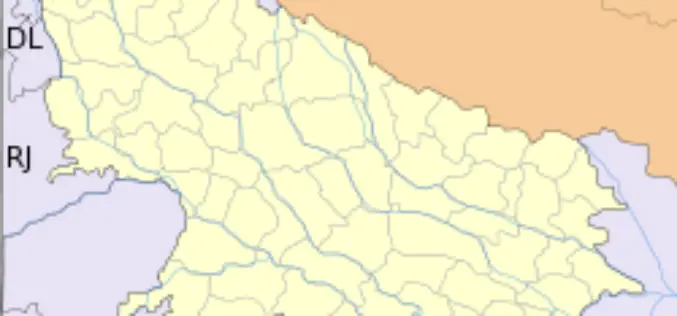
GIS to Modernize Irrigation System in Uttar Pradesh
In recent news Uttar Pradesh Government has launched second phase of the UP Water Sector Restructuring Project. The World Bank is funding the project with an interest free loan

Shift to LIDAR in Global GIS Market in Transportation Industry
Research and Markets, are the leading source for international market research and market data has announced the addition of the “Global GIS Market in Transportation Industry 2012-2016″ report. The

How GIS Revolutionizing Defense Strategy and Intelligence Operations
Most national security decisions involve geography. Whether assessing potential terrorist targets, planning where to strike on the battlefield, or deciding where to locate a new building with minimal environmental impact,
GIS to Map Forest Department’s Livelihood Programme
Jamshedpur, India: The forest department’s tribal empowerment livelihood programme will soon be controlled through geo satellite. The department has introduced a Geographical Information System (GIS) in the six forest divisions of Kolhan
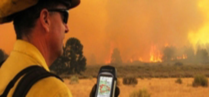
ISU, NASA Use New GIS-Satellite Imagery Program to Create Tool for Firefighters
POCATELLO – 35 minutes. That’s how long it took for the Idaho State University GIS Center to produce a detailed report that gave Bureau of Land Management wildfire managers information

GIS to spur Civil Defense Response
The Civil Defense department will implement an electronic system that links its operations with houses for immediate response in events of fire. The system is already in application in Makkah and

The village of Algonquin Recognized for GIS Technology
Environmental Systems Research Institute (ESRI) recognizes organizations that embrace GIS technology to improve the world and contribute to the GIS community with its Special Achievement in GIS Award. The village
Australia: How the City Would Fare if the Natural Disaster Were to Occur Again in 2013?
A team of Queensland firies has ignited the interest of emergency response teams from around the world, after using cutting-edge mapping technology to tackle a catastrophic problem from the dark
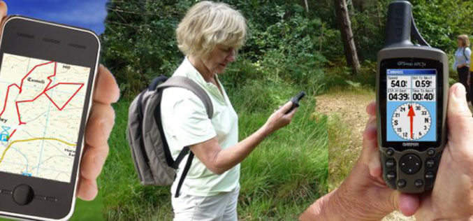
What is GIS?
GIS stands for Geographic Information System. Introduction This portion provides an overview of GIS. It examines what GIS is, what it can do and, in brief, how it works. One of the
