
Tag "Google Earth"

Forest Cover Monitoring In Urban Agglomeration Using Google Earth Satellite Image – A Case of Bhubaneswar City, Odisha
Combining several remote sensing technologies to estimate forest
cover attributes will greatly improve resource assessment.

A City in 2 Billion Points
July 31, 2018 – In 2014 the Institut Cartogràfic i Geològic de Catalunya (ICGC) scanned an area of 1900×1200 meters around the La Sagrada Família in the city of Barcelona using
Europa Technologies Celebrates Earth Day with New Release of Global Data Suite
In tribute to Earth Day 2017, Europa Technologies has announced the latest major version (v2017.1) of its market-leading suite of global map data products. As a publisher of rich data
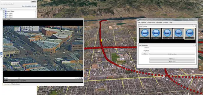
Remote GeoSystems Launches LineVision Google Earth Extension for Project Reporting with Geotagged Videos & Photos
Remote GeoSystems Releases All-New LineVision Google Earth Extension for Geotagged Video Playback, Analysis, Collaboration and Reporting Using Google Earth & Other GIS FORT COLLINS, Colorado – Remote GeoSystems, Inc. is
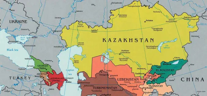
Kazakhstan is Planning to Create a National Geographical Information System
According to recent news by the Kazakh TV, Kazakhstan is planning to create a national geographical information system, which will automate a number of public services related to spatial data, such as

Airbus Defense and Space Partners with AMREL for Easy Access to Geospatial Data for GEOINT Operations
Airbus Defense and Space and American Reliance, Inc. (AMREL) have partnered to integrate GATOR (Geospatial Appliance Targeted for Operational Response) into a rugged one-box laptop solution called the GATOR Rugged
Fire Globe Delivers Esri 3D Visualization to US Firefighters
The National Interagency Fire Center Migrates to the Esri Platform and Improves Situational Awareness Redlands, California—The National Interagency Fire Center (NIFC) has transferred its web GIS application, Fire Globe, to
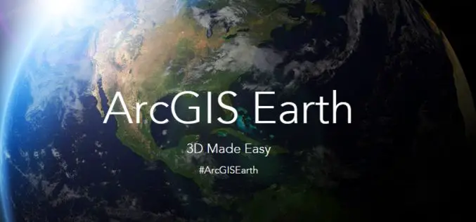
Esri Unveils ArcGIS Earth to the World
Free Interactive 3D Globe Allows Everyone to Visualize, Explore, and Understand Spatial Data Esri, the world leader in mapping technology, has launched ArcGIS Earth, a free, desktop-based interactive globe that
Google and FAO Partner to Make Remote Sensing Data More Efficient and Accessible
Paris – Google Maps and FAO have agreed to work closely together to make geospatial tracking and mapping products more accessible, providing a high-technology assist to countries tackling climate change
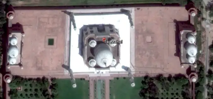
India May Soon Have 3D Imagery of Major Cities
3D imagery of buildings and terrain of India’s major cities, including Rashtrapati Bhavan and PMO, could soon be seen in Google Earth with the government contemplating to give permission for
