

Tag "ISRO"
NHAI Signs MoU with ISRO and NECTAR for Use of Spatial Technology for Monitoring and Managing National Highway
NHAI has signed Memorandum of Understanding with National Remote Sensing Centre (NRSC) under Indian Space Research Organization (ISRO) and North East Centre for Technology Application and Research (NECTAR) for use
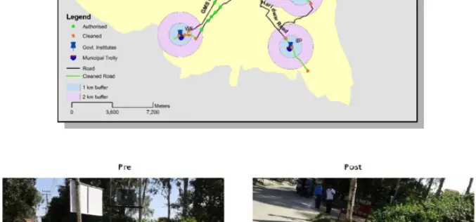
ISRO Utilizes Geospatial Technology for Swachh Bharat Abhiyaan
A novel initiative to contribute in the Swachh Bharat Abhiyaan using the Geospatial Technology (GST) was taken up jointly by the central Government institutions in Dehradun. This initiative was supported
Bhuvan – Training Explaining the Functionalities and Utilities of Bhuvan
Training is offered on Bhuvan Visualization, Services and Collaborative Applications. In order to increase the awareness on Bhuvan, attract Academicians to participate in crowdsourcing & development and initiate Government agencies

Ahmedabad to go for Base map Mapping for Real-time Civic Services Monitoring
Gujrat, India – Ahmedabad Municipal Corporation (AMC) has approached ISRO’s Space Application Centre (SAC) for preparing a base map for Ahmedabad. The base map is a prerequisite for implementing the
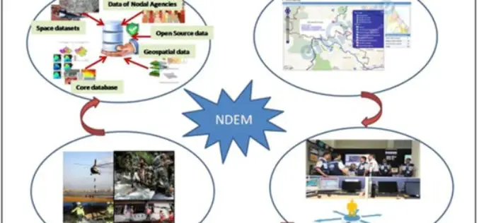
National Database for Emergency Management (NDEM) Services in Tackling Disasters
Towards supporting country’s efforts in efficient management of natural disasters, ISRO has evolved a comprehensive space-based Disaster Management Support (DMS) Programme and institutionalised the same in association with concerned ministries

Indian Government Plans to Track Illegal Mining Using Space Technology
NEW DELHI: The government has finalised its plans to track illegal mining in the country using space technology and satellite imagery in partnership with Indian Space Research Organisation (ISRO). This
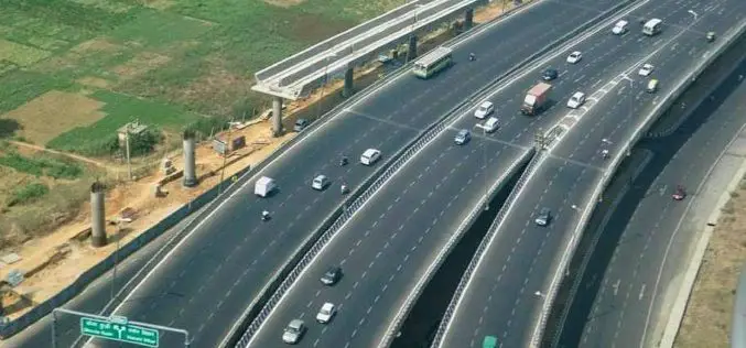
NHAI to Use Satellites for Road Mapping
According to recent news, the Central Road Research Institute (CRRI) has developed several technologies/procedures/methods for construction and maintenance of Indian roads such as cold mix & warm mix technologies for
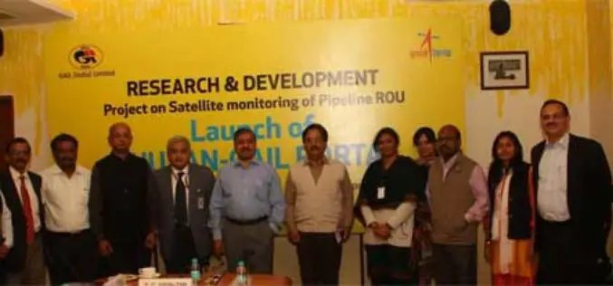
GAIL and ISRO Joins Hands for Satellite Monitoring Of Pipelines
To address pipeline safety concerns, GAIL (India) Limited in collaboration with National Remote Sensing Centre (NRSC) – a unit of Indian Space Research Organization (ISRO) – has launched an innovative
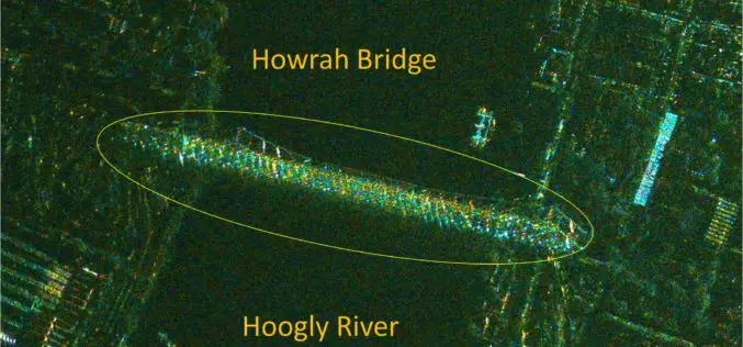
India’s RISAT-1 High Resolution SpotLight (HRS) Polarimetric Image
Indian Space Research Organization’s (ISRO) Radar Satellite-1 (RISAT-1) is a state of the art Microwave Remote Sensing Satellite carrying a Synthetic Aperture Radar (SAR) Payload operating in C-band (5.35 GHz), which

NDRF Joins Hands with ISRO to Get Real-time Satellite Data for Disaster Rescue
In a bid to obtain the vital “third eye” to tackle disasters, the National Disaster Response Force (NDRF) has inked a pact with the National Remote Sensing Centre (NRSC) which
