
Tag "ISRO"
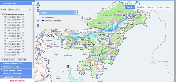
NRSC Released Updated Flood Hazard Atlas for Assam State
According to recent news by ISRO, the National Remote Sensing Centre (NRSC), ISRO, Hyderabad has released updated flood hazard atlas of Assam, a highly flood-prone state of India. Assam is
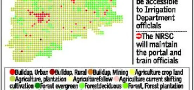
Telangana Goes for Geo-tagging With the Help of NRSC and ICRISAT
According to recent news by The Hindu, soon the citizens, farmers, administrators and policy makers can gain access to information about water availability and cropping pattern in all irrigation systems
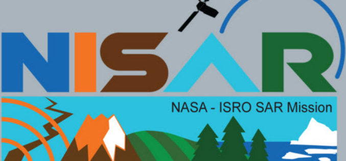
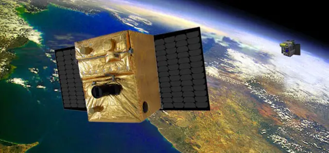
NISAR – NASA-ISRO Synthetic Aperture Radar Mission
According to recent by The Indian Express, the Indian Space Research Organisation (ISRO) and NASA’s Jet Propulsion Laboratory are jointly working on the development of a Dual Frequency (L&S band)
ISRO to Geo-tag Assets Created Under MGNREGA
India – According to recent news, a Memorandum of Understanding was signed between the Rural Development Ministry and ISRO, Department of Space for geo-tagging the assets created under MGNREGA in

Great Day in Indian Space History With the Launch of 20 Satellites in a Single Mission
In its thirty sixth flight (PSLV-C34), ISRO’s Polar Satellite Launch Vehicle successfully launched the 727.5 kg Cartosat-2 Series Satellite along with 19 co-passenger satellites on June 22, 2016 from Satish
BIROS Fire Detection Satellite Successfully Launched into Space
On 22 June 2016 at 05:55 CEST, the BIROS (Bi-Spectral Infrared Optical System) microsatellite was successfully launched into space from the Satish Dhawan Space Centre in India on board a Polar

Isro to Launch Cartosat-2 Series Satellite Mission : Scheduled on June 22, 2016
India’s Polar Satellite Launch Vehicle, in its thirty sixth flight (PSLV-C34), will launch the 727.5 kg Cartosat-2 series satellite for earth observation and 19 co-passenger satellites together weighing about 560 kg
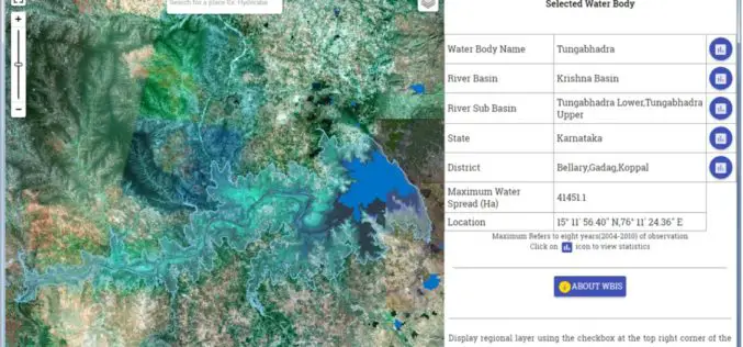
Temporal Repetitive Mapping of Water Bodies Across India
National Remote Sensing Centre (NRSC), ISRO at Hyderabad monitors the status of all the water bodies in the country using satellite images and provides water spread area information on a

“India Should Build Its Own Space Station”
India should actively get into building its own space station in the Low Earth Orbit (LEO) as its next space frontier since the time is opportune for this, a retired
NMDC Inks MoU with ISRO for Mineral Mapping
In a bid to make use of satellite-based geological mapping capability for mineral exploration, National Mineral Development Corporation (NMDC) has signed a memorandum of understanding (MoU) with Indian Space Research
