
Tag "Laser scanning"
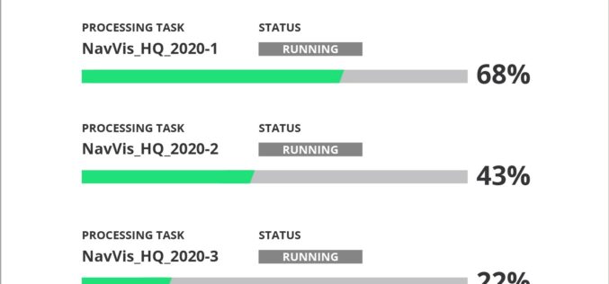
NavVis Introduces Cloud Processing for Even Faster Laser Scanning Workflows
From processing to viewing, with NavVis it can now be done entirely in the cloud. NavVis, an innovator in indoor mobile mapping, today introduced the Cloud Processing Add-on for NavVis
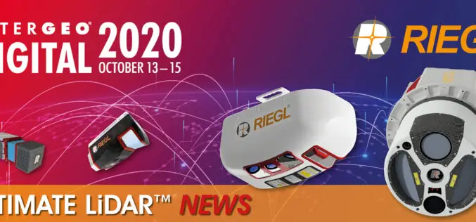
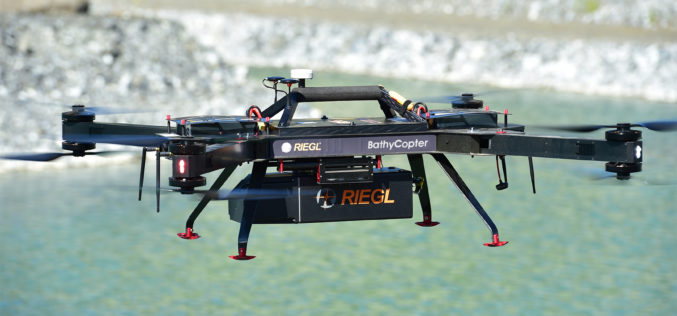
INTERGEO 2020 DIGITAL, October 13-15, 2020: RIEGL Presents Their New Products 2020
2020 is a very special year – COVID-19 has taught us to think in new dimensions and to work in new spheres. Nevertheless, RIEGL does not want to break with

Trimble Blends Performance and Simplicity with New X7 3D Laser Scanning System
Innovative High-Speed 3D Laser Scanning System Simplifies Use, Increases Efficiency and Provides Confidence in the Field to Capture Digital Data SUNNYVALE, Calif., Sept. 16, 2019—Trimble (NASDAQ: TRMB) introduced today the Trimble®
NavVis Partners with PrecisionPoint to Bring the American Indoors Online
13 October 2017 – NavVis, the global leader in indoor mapping, visualization, and navigation, announces a new partnership with PrecisionPoint, a leading reality capture solutions provider in the USA. PrecisionPoint is
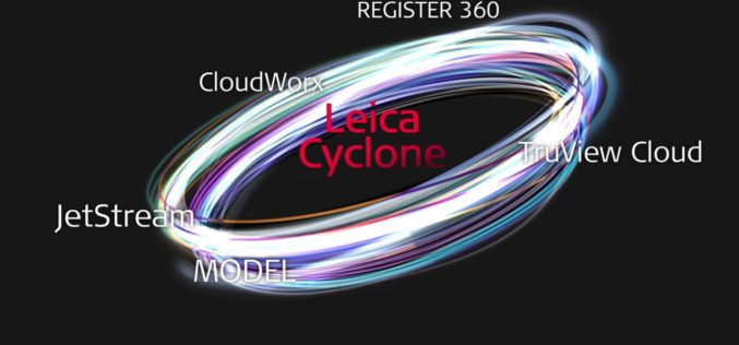
Leica Cyclone REGISTER 360, Cloud Services offer speed, scale and simplicity to the digital reality capture market
15 JUNE 2017 – Hexagon, a leading global provider of information technology solutions, announced today its new Leica Cyclone REGISTER 360 laser scanning software for simpler, automated registration, and its Cyclone
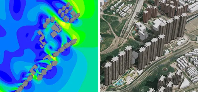
New 3D Mapping Technology for Smart City Development
The two most commonly used 3D mapping techniques are photogrammetry using satellite or aerial imagery, and laser scanning. The former offers greater accuracy in the horizontal direction and the latter
RIEGL with Broad and Impressive Product Range, New Products at Intergeo 2016
RIEGL uses the INTERGEO platform traditionally to give an insight and an overview on its comprehensive LiDAR sensors and systems product range. At booth C3.059 in hall A3, on the
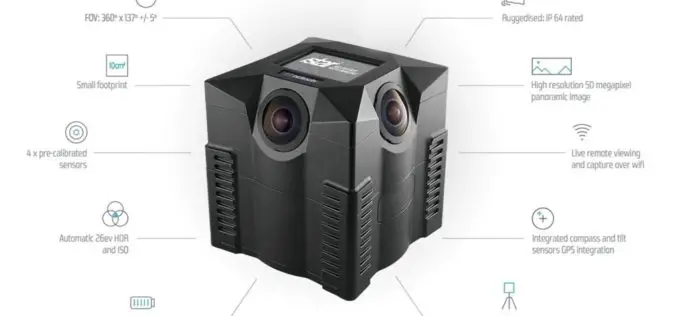
iSTAR Panoramic Camera to Support Digital Preservation of At-Risk Heritage Sites in Syria, the Middle East
Speed of capture, image quality and ease-of-use identified as key product attributes for sensitive mission Edinburgh, UK – December 17, 2015 – NCTech, the developer of reality imaging systems, today

Creating a collaborative Laser Scanning Workflow in Real-time for BIM and Beyond
Webinar: Creating a collaborative Laser Scanning Workflow in Real-time for BIM and Beyond December 14, 2015 -December 14, 2015 Laser scanning and volume data provides the mechanism to bring the

Geospatial Research Program Seeks Project Applications
FAYETTEVILLE, Ark. – The Spatial Archaeometry Research Collaborations (SPARC) Program, a National Science Foundation-funded initiative at the Center for Advanced Spatial Technologies at the University of Arkansas, is accepting applications
