

Tag "LiDAR"
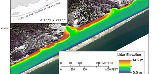
Terrestrial-based Lidar Beach Topography of Fire Island, New York
Abstract: The U.S. Geological Survey (USGS) St. Petersburg Coastal and Marine Science Center (SPCMSC) in Florida and the USGS Lower Mississippi-Gulf Water Science Center (LMG WSC) in Montgomery, Alabama, collaborated to

New YellowScan Surveyor, the World’s Lightest and Most Accurate LiDAR Solution
New YellowScan Surveyor: World’s lightest and most accurate LiDAR solution for Civil Engineering & Mining professionals Denver, CO, USA – February 22, 2016 – YellowScan is pleased to announce the

RIEGL and Aeroscout Announce Strategic Partnership!
RIEGL Laser Measurement Systems (Austria) and Aeroscout (Switzerland) are excited to announce a strategic partnership between companies RIEGL and Aeroscout have worked closely for many years. As a pioneer in
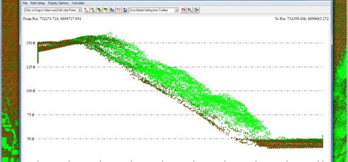
Global Mapper v17.1 LiDAR Module Now Available
Global Mapper v17.1 LiDAR Module Now Available With the New Custom Feature Extraction Tool Blue Marble Geographics is pleased to announce the immediate availability of an upgrade to the Global
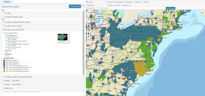
The National Map Data Download Enhancements
The USGS National Map program is transitioning all of its GIS data download capabilities to its new TNM Download client during the week of February 15, 2016. The new launch

LizardTech Introduces Enhanced GeoExpress
GeoExpress® 9.5.1 includes streamlined, updated UI and expanded format support SEATTLE, Wash. — LizardTech®, the creator of MrSID® and provider of software solutions for managing and distributing geospatial content, today
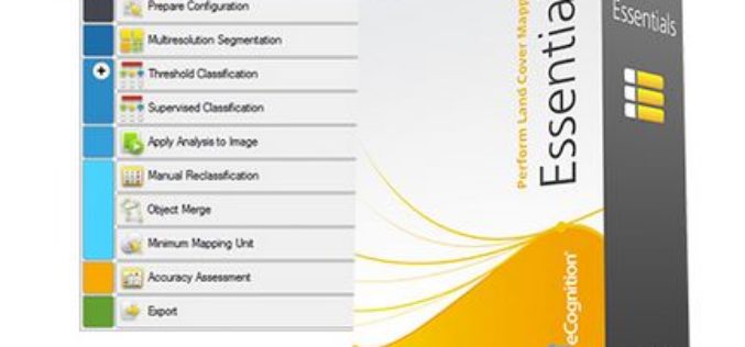
How to automatically update your Vector GIS Data using Trimble eCognition
Webinar: How to automatically update your Vector GIS Data using Trimble eCognition Tue, Feb 16, 2016 9:30 PM – 10:30 PM IST Show in My Time Zone Our GIS databases
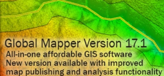
Global Mapper 17.1 Released with Improvements to Map Publishing and Analysis Tools
Hallowell, Maine – February 2, 2016 – Blue Marble Geographics (bluemarblegeo.com) is pleased to announce the availability of Global Mapper version 17.1. This intermediate upgrade to the version 17 release

A New Method for Mapping River Properties Using Remote Sensing
A JRC-led article published in Remote Sensing last week presents a new method for mapping river properties using remote sensing. The new method provides a tool for monitoring and characterising the
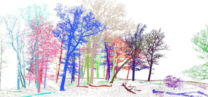
3D Forest – Forest LiDAR Data Processing Tool
Tool for point cloud data processing from forest environment acquired by terrestrial laser scanner (TLS) 3D Forest is an open-source software application for LiDAR data segmentation, visualization, and export of
