
Tag "remote sensing"
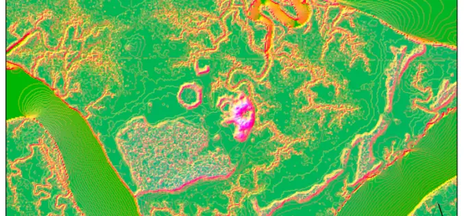
Machine Learning to Discover Shell Rings Using Remote Sensing Data
Deep in the dense coastal forests and marshes of the American Southeast lie shell rings and shell mounds left by Indigenous people 3,000 to 5,000 years ago. Now an international

BRICS Space Agencies Signed Agreement for Cooperation in Remote Sensing Satellite Data Sharing
Under India’s BRICS Chairship, the BRICS Space Agencies Heads have signed an agreement for cooperation in remote sensing satellite data sharing on August 18, 2021, in the presence of Mr.
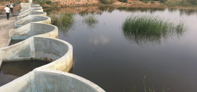
How Remote Sensing and GIS are Used to Build Check Dams Under MGNREGA?
Remote Sensing and GIS are useful to identify and choose a suitable site or probable locations for check dams. This helps to ensure best site for check dam’s construction and to prevent unscientific construction.

Technology Connecting Farmers to a Friend at High Heavens – A Talk with Ankur Omar, Founder of Farmonaut
GIS Resources had a questionnaire with Ankur Omar, Founder of Farmonaut. He has shared some interesting insights about Farmonaut.
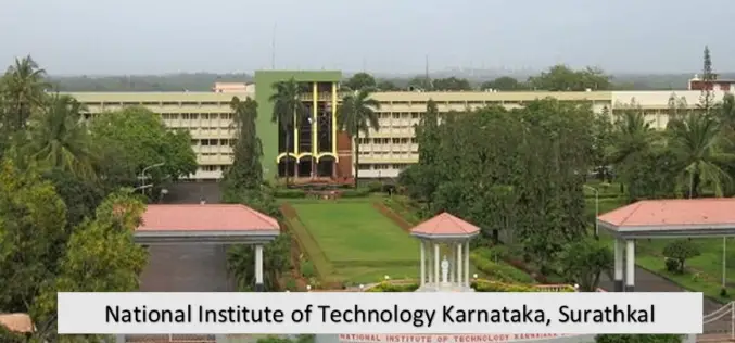
NIT Karnataka is Offering Free Course on Machine and Deep Learning for Remote Sensing Applications
NIT Karnataka is Offering is offering two weeks online summer school on Machine and Deep Learning for Remote Sensing Applications.

USGS Developed High-Resolution Imagery of Coastal Wetlands to Identify Vulnerable Marshes across the US
Scientist have used a combination of remote sensing and satellite technologies to identify vulnerable marshes across the US.
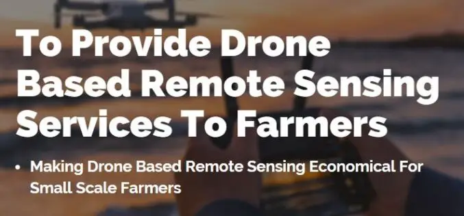
Farmonaut Partners With GarudaUAV to Provide Drone-Based Remote Sensing Technologies for Farming in India
Farmonaut has come together with a leading Indian drone services company, GarudaUAV, engaged in aerial data acquisition, analysis, and reporting for the promotion of drone-based remote sensing technologies for farming

ISRO Launches EOS-01 and Nine Other Satellites
EOS-01 is an earth observation satellite intended for applications in agriculture, forestry and disaster management support.
Aspectum and Planet Enter into a Partnership to Offer Powerful Analytics Paired With Robust Satellite Imagery
New partnership that allows Aspectum users to access Planets high-resolution satellite imagery and rich geospatial data Aspectum and Planet have announced the formation of a strategic partnership to offer businesses
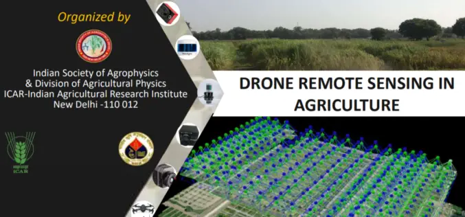
Full-Day Webinar on Drone Remote Sensing in Agriculture
Indian Society of Agro-Physics in association with ICAR- IARI is organizing one day webinar on Drone Remote Sensing in Agriculture. Hurry last date to apply is August 31, 2020.
