
Tag "SAR"

Webinar: SAR Tools and Capabilities in Geomatica 2014
On-demand Webinar – SAR Tools and Capabilities in Geomatica 2014 In this one-hour webinar, PCI experts will demonstrate data processing techniques in Focus including ingesting, calibrating and displaying SAR data.

Land Applications of Radar Remote Sensing
The aim of this book is to demonstrate the use of SAR data in three application domains, i.e. land cover (Part II), topography (Part III), and land motion (Part IV).

InSAR/Seismological Investigation Studentship Programme
In 2012, the Natural Environment Research Council announced that it wished to concentrate research student training in larger cohorts, and invited bids for Doctoral Training Partnerships to provide this training.
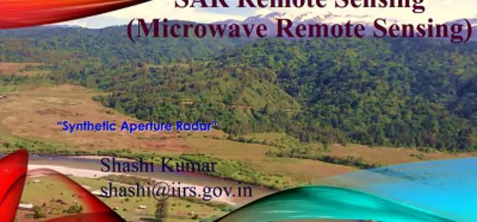
PPT on SAR Remote Sensing and Its Introduction
The PPT on SAR Remote Sensing and Its Introduction, provide a complete introduction about Synthetic Aperture Radar. Compiled by: Shashi Kumar, IIRS, Dehradun
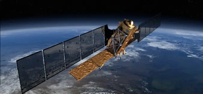
EU’s first Sentinel Earth Observation satellite to launch in April
A date has been announced for the roll-out of the European Union’s multi-billion-euro Earth observation project, Copernicus. Copernicus will fly a constellation of satellites known as the Sentinels to take
