
Tag "satellite"
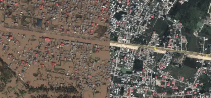
Kashmir Floods Monitored By Latest Satellite Technology
Union Minister Jitendra Singh said that Kashmir floods are being constantly monitored by latest satellite technology at the National Remote Sensing Centre. “Kashmir floods are being constantly monitored by latest
India’s Own Satellite Navigation System – IRNSS
Submitted by: A satellite navigation system is a system of satellites that provide location (longitude, latitude, and altitude) to high precision (within a few metres) with small electronic receivers. The electronic receivers calculate the current local time to high
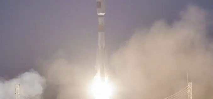
Two New Satellites Join The Galileo Constellation
28 March 2015 – The EU’s Galileo satellite navigation system now has eight satellites in orbit following the launch of the latest pair. Galileo 7 & 8 lifted off at

PCI Geomatics Webinar: Get More From Imagery Webinar Rollout
Get More From Imagery Webinar Rollout Live Webinar – Thursday, April 9 at 8am GMT and 2pm EDT PCI Geomatics wants to help you Get More from Imagery, and we’re
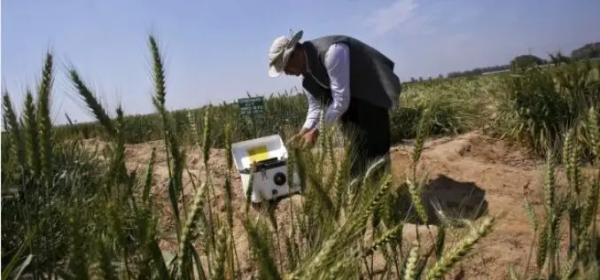
India Turns to ‘Satellite God’ for Crop Monitoring
(Reuters) – Sher Singh, a farmer from desert state of Rajasthan, prays to Varuna, the Hindu god of water, for a bountiful harvest. Now, he is also looking to the

Download Free Landsat 8 Imagery from the Amazon Web Services Cloud
Amazon has announced the availability of Landsat on Amazon Web Services. Under this program, Amazon will host 1 petabyte of Landsat imagery from USGS on the Amazon Web Services Cloud. You
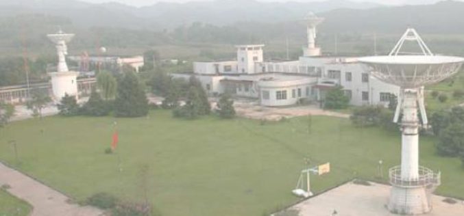
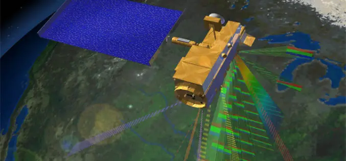
China to Setup Satellite Data Receiving Station in the Arctic
In a recent news by CRI English, China is working to setup its first overseas satellite data receiving station in the Arctic. The station, which is expected to start operation

DigitalGlobe Announces Availability of 30 cm Satellite Imagery to All Customers
Higher Resolution Satellite Imagery Now a Highly Competitive Alternative to Aerial Imagery for Global Applications LONGMONT, Colo.–(BUSINESS WIRE)–Feb. 25, 2015– DigitalGlobe, Inc. (NYSE: DGI), a leading global provider of high-resolution earth
Remote Sensing Technology to Prevent Outbreak of Diseases
Feb. 16, 2015 – Satellites can help scientists follow parasites and viruses, and in some cases predict months ahead of time an outbreak of dengue fever or malaria, researchers said
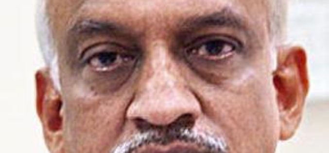
Alur Seelin Kiran Kumar Takes Over as Space Secretary
Distinguished space scientist Alur Seelin Kiran Kumar took over as secretary of the department of space and chairman of the Space Commission and the state-run ISRO here. Prior to his appointment to
