
Tag "Spatial Data Infrastructure"

OGC Calls for Participation in its Indian Interoperability Plugfest
26 December 2016: The Open Geospatial Consortium (OGC®) is calling to vendors doing business in India for participation in its latest Interoperability Plugfest. The Department of Science and Technology (DST),

Sri Lanka Setting Up National Spatial Data Infrastructure for Development
According to recent news, Sri Lanka’s Survey Department is setting up national spatial data infrastructure where spatial or location-based information can be better used and shared by both the government

Training Course on GIS and Remote Sensing For Climate Change Impact Analysis and Adaptation
Training Course on GIS and Remote Sensing For Climate Change Impact Analysis and Adaptation October 10 – October 14, 2016 This training will offer a set of methods and techniques
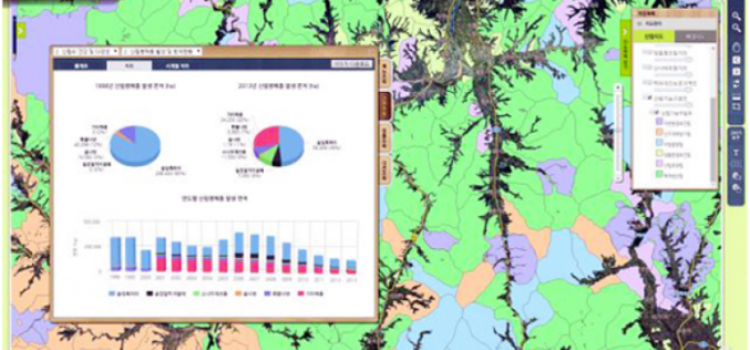
Korea to Launch Spatial Data Infrastructure Building Projects in Central Asia, Africa
According to recent news by Business Korea, The National Geographic Information Institute (NGII) is planning to launch spatial data infrastructure (SDI) building projects in Kazakhstan, Kyrgyzstan, Uzbekistan and Mongolia. The
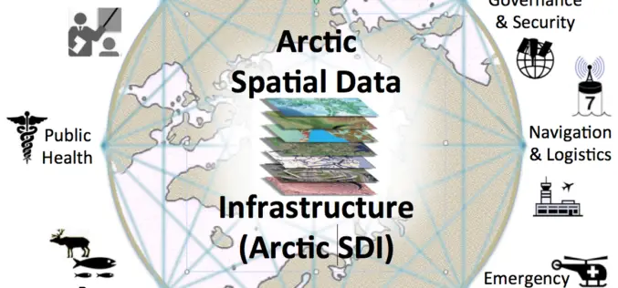
OGC Requests Information to Guide Arctic Spatial Data Pilot
The Open Geospatial Consortium (OGC®) requests information to help advance the “Arctic Spatial Data Pilot”. The Arctic Spatial Data Pilot is an OGC Interoperability Program initiative sponsored by the U.S.

OGC Announces New Arctic Spatial Data Infrastructure Project
The Open Geospatial Consortium (OGC®) announces a new OGC Interoperability Program project called the “Arctic Spatial Data Infrastructure Standards and Communication Pilot” (Arctic SDI Pilot). The Arctic SDI Pilot is

ORSAC to Frame Policy for Common Pool of Geo-spatial Info
In recent news, The Odisha Government has decided to frame out Data Sharing Policy agencies to bring all geo-spatial information generated by Odisha Space Application Centre (ORSAC) and State-run geospatial
