
Tag "Spatial"
Boundless Exchange 1.0 is Now Available!
Your Open Portal for Spatial Collaboration Boundless Exchange 1.0, a GIS content management platform powered by open source technology, is now available. Boundless Exchange enables spatial and mapping capabilities via
Esri Helps Youth Locate First Job
Labor Force Initiative Calls for Greater Opportunities for Young People Redlands, California—Advocates of the Opportunity Youth Network (OYN) have called for employers nationwide to embrace young people entering the workforce

Bangladesh Govt to Form National Spatial Data Infrastructure (NSDI)
According to recent news, Prime Minister Sheikh Hasina has said her government would soon form ‘National Spatial Data Infrastructure’ (NSDI) to generate geo-data and digital mapping aimed at country’s planned development.

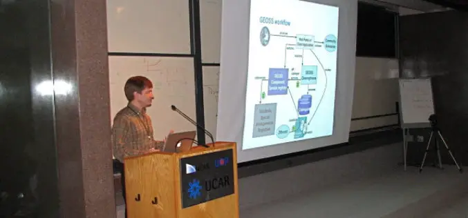
SuperGIS Webinar: Planning and Managing Tourism in a Spatial Way
Planning and Managing Tourism in a Spatial Way Wednesday, 1st June | 09:00 AM (GMT+2) Your local time “Adventure is worthwhile in itself.” Indeed, tourism is one of the fastest growing industries
2016 Doug D. Nebert NSDI Champion of the Year Award
The Federal Geographic Data Committee is now accepting nominations for the Doug D. Nebert National Spatial Data Infrastructure (NSDI) Champion of the Year Award. Doug was a recognized national and international

Philippines Launched App to Monitor Protected Area
The Philippines government has launched a Web-based mobile application that would provide accurate information on the status of the country’s protected areas. According to a statement released by the Department

OGC Seeks Public Comment on Candidate OGC® Coverage Collection Extension
4 March 2016 – The membership of the Open Geospatial Consortium (OGC®) seeks public comment on the candidate OGC® Coverage Collection Extension Standard. The candidate OGC® Coverage Collection Extension Standard
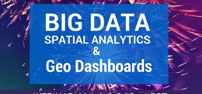
Webinar: Big Data Spatial Analytics and Geo-Dashboards
Big Data Spatial Analytics and Geo-Dashboards MARCH 3, 9am PST / 12pm EST Learn how to transform millions of assets into meaningful insights using Location Analytics. With millions or billions
Geospatial Research Program to Collaborate on Five New Projects in 2016
FAYETTEVILLE, Ark. – The Spatial Archaeometry Research Collaborations Program, a National Science Foundation-funded initiative at the Center for Advanced Spatial Technologies at the University of Arkansas, will collaborate on five
Boundless Participates in Release of GeoNode 2.4
Boundless Hosts Code Sprint in New Orleans and Announces Important Functionality in GeoNode 2.4 Boundless, the leading provider of open source geospatial software and services, today highlighted the latest release
