
Tag "UAV"

PrecisionHawk and Harris Corporation Expand Strategic Partnership to Introduce Airspace Safety Technologies to the Drone Market
The companies are merging Harris’ expertise in air traffic communication and surveillance and PrecisionHawk’s work on low-altitude, safety services for drones to provide a holistic unmanned aircraft, safety, technology service

Cardno Files U.S. Patent Application for UAS Remote Sensing Process
New patent application filing for Unmanned Aerial Systems UAS remote sensing technology workflow to support abandoned uranium assessment and cleanup. Cardno announced the filing with the U.S. Patent & Trademark Office

A New Mobile Phone App for Grassroots Mapping
University of Exeter academics have created an app which could help aid humanitarian rescue work in disaster-struck regions by using geographic data to map landscapes. The android mobile phone application
No Proposal with DGCA for Allowing Commercial Use of Drones
There is no proposal at present with aviation regulatorDGCA for allowing commercial use of drones in the country, government said today. The Directorate General of Civil Aviation has recently put
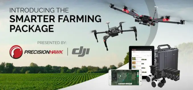
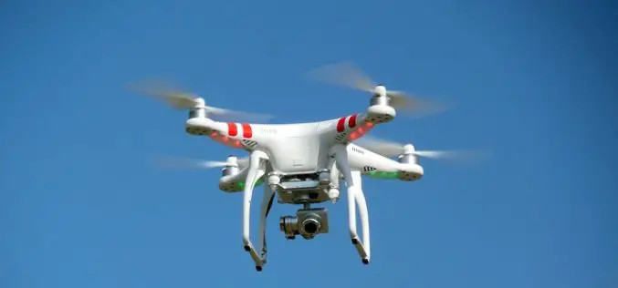
PrecisionHawk And DJI Deliver Easy-To-Use Drone And Data Packages For Farmers
The pre-assembled package, which includes DJI’s hardware platform plus PrecisionHawk’s flight and analytics software, is seamlessly integrated to provide a cost-effective and easy remote sensing tool for agriculture PrecisionHawk and

GAIL to Use Drones to Secure Gas Pipelines
GAIL India, the country’s biggest gas transporter, will deploy drones on a pilot basis on its main trunk pipeline as part of higher safety measures it is implementing to secure
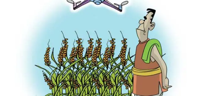
Insurance Company Using Drones for Crop Yields
According to recent news by the Business Standard, Private insurance companies are using drones to photograph farms and if permitted by the agriculture ministry these could provide data to calculate crop

Commercial UAV Expo 2016 at Las Vegas
Commercial UAV Expo is North America’s leading trade show and conference for the commercial drone market, focusing on: Surveying & Mapping Civil Infrastructure Process, Power & Utilities Aggregates & Mining Construction Law

Esri Webinar: Eyes on the World
Eyes on the World Wed, Apr 20, 2016 | 1:30 AM – 2:30 AM IST Wed, Apr 20, 2016 | 6:30 AM – 7:30 AM IST Drones, UASs, and UAVs

Federal Government Expands UAS Partnerships
The Federal Aviation Administration (FAA) and key government agencies involved in unmanned aircraft operations are expanding participation in the Unmanned Aircraft Systems (UAS) Executive Committee (EXCOM). The committee provides federal
